
PoH-Code: poh.34672
Memorial Plaque in Memory of the Establishment of the South Tyrol Settlement (Lieferinger Cultural Walking Trail)
01/01/2004 – 12/31/2004
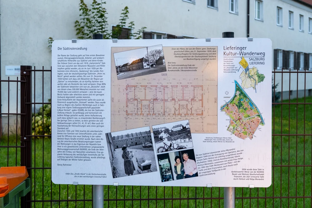
Lieferinger Kultur-Wanderweg (LKW) in Gedenken an deportierte Südtiroler und Südtirolerinnen, 2024 (© Sebastian Sillinger)
partizanstvo.si · CC-BY-NC-4.0 · gams.uni-graz.at
A station of the Lieferinger Cultural Trail commemorates the plaque in memory of the establishment of the South Tyrol Settlement. The settlement, consisting of 220 homes, was built by the housing company "Neue Heimat" (today: GSWB) in the years 1939 and 1940. The establishment was preceded by an agreement between the NS regime and the fascist Italy. The agreement provided that German-speaking South Tyrolese and South Tyrolese women could decide to emigrate to the German Reich and acquire German citizenship. Around 70,000 people left their South Tyrol homeland within the framework of the agreement and mainly settled in Tirol, Vorarlberg, and in the Styria. Also in Salzburg, numerous emigrants found a new – often only a temporary – home in the newly established settlements. After the end of the war, a third of all South Tyrolese returned to their homeland. The plaque of the Lieferinger Cultural Trail was erected in 2004. Today, the streets around this settlement are named after the places of origin of the so-called "Volksdeutsche", for example the Siebenbürgerstraße, the Banaterstraße, the Bessarabierstraße, as well as the Buchenländer- and Gotscheerstraße. However, there is no contextualization of the street names granted in the 1940s so far.
Translation · AI tier 5
Sources
- DERLA — Gedenktafel in Erinnerung an die Errichtung der Südtiroler Siedlung (Lieferinger Kulturwanderweg) (5ac8b486-1cda-4c11-b4c8-ba69e4a2ecb9) — DERLA — Gedenktafel in Erinnerung an die Errichtung der Südtiroler Siedlung (Lieferinger Kulturwanderweg)
Evaluations
- Access (from 07/19/2026): Open access
- Spatial accuracy: 4 — Accurate
Location & map
Map position available (Point) · spatial accuracy: 4 — Accurate
Textual location description
Gottscheerstraße, 5020 Salzburg
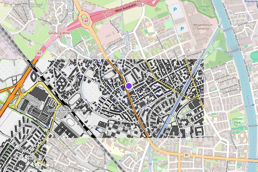
Coordinates (WGS84)47.81803° N, 13.01934° E