
PoH-Code: poh.24574
Ivan Županec
—
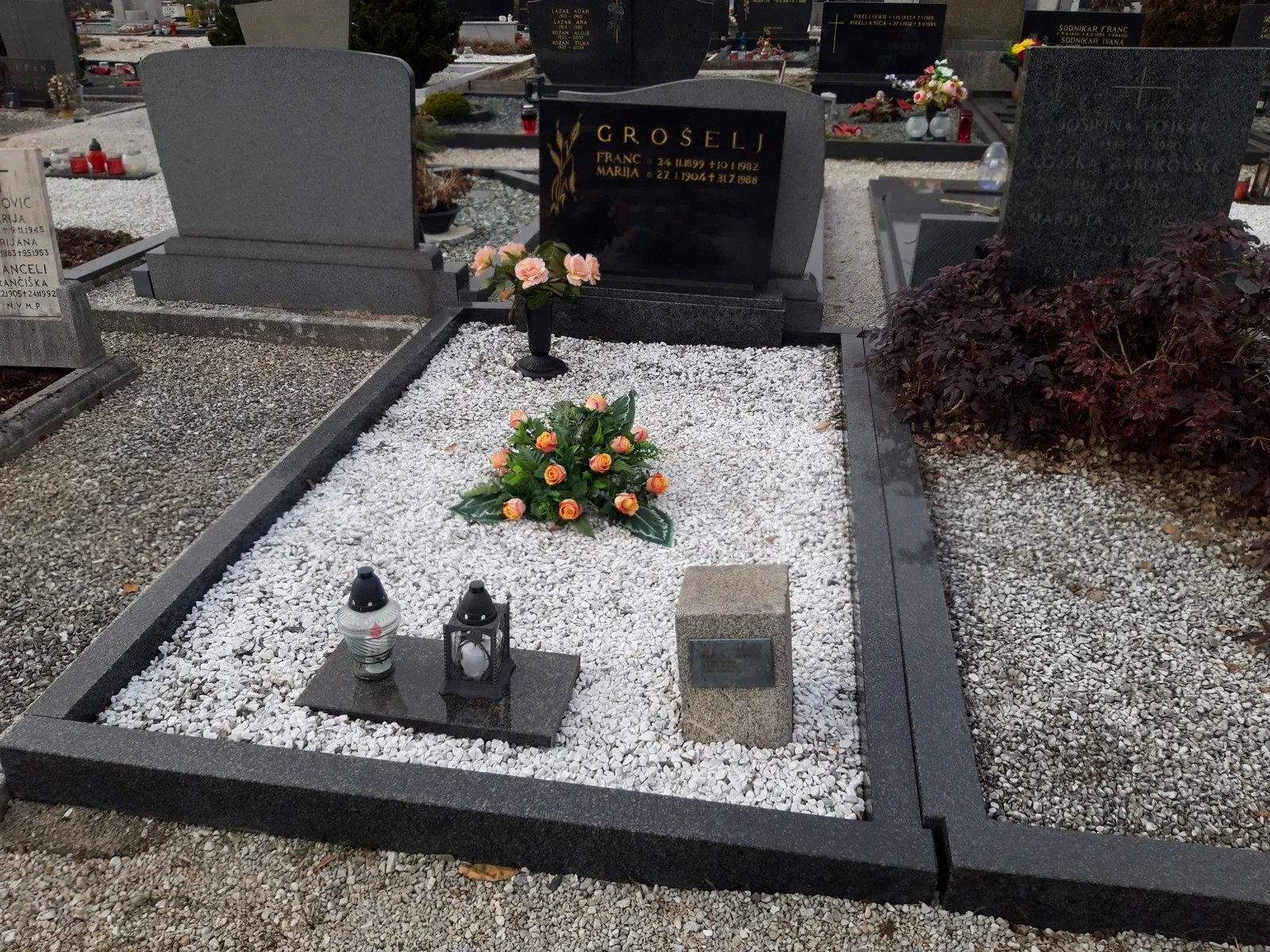
partizanstvo.si / Arhiv Geopedia · CC-BY 4.0 (privzeta licenca) · Preneseno iz Geopedije.
Sistory states the same data.
«The group remained in Udine boršt the following day, 17th April. In this group were also both the wounded: Stane Žagar ml., who could no longer walk and had to be carried, and the commander vóda Janez Perko. In this group were also the commander Alojz Hrovat, Staneta Žagarja ml. and Janez Perk, along with Jaka Rabič Ivan Županec, Stane Šmid, Stanko Mlakar, Tonček Zupan, Ivan Stroj, Stane Pavlin Vladimir Peraić, Tone Poznik, Danilo Rejec and the brothers Lado and Slavko Smuk. […] From the forest they managed to leave only the following night, when the hajka began to wither. The first morning light of 22nd April brought the partisans awake. […] Now, when every hope of a solution had died out, the partisans decided to finish themselves off. […] Once again the Germans called them to surrender, but to this call they replied with even stronger singing and provocative calls. In the last minutes the partisans destroyed their weapons and equipment and fired the ammunition. Only the last ones were kept; with them six of them were shot. On the dead Poznik and Smuk lay Stane Žagar, Jaka Rabič, Ivan Žup, Lojze Hrovat, Stane Pavlin and Ivan Stroj.» (Ivan Jan Kokrški odred I, Narodnoosvobodilni boj pod Karavankami/, Ljubljana: Knjižnica NOV in POS 26/4, 1980, p. 182, 193, 194)
Translation · AI tier 5
Sources
- Partizanstvo.si — Partizanski spomeniki (#8110) (eabfea08-2eab-4ce5-b8cf-10d2c79061ed) — Partizanstvo.si — Partizanski spomeniki (#8110)
Links
Location & map
Map position available (Point) · spatial accuracy: 4 — Accurate
Textual location description
Mestno pokopališče Kranj, D– 9/11
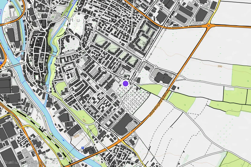
Coordinates (WGS84)46.23604° N, 14.36789° E