
PoH-Code: poh.34344
Informationsstation op joodse begraafplaats in Stadtschlaining
01-01-2008 – 31-12-2008
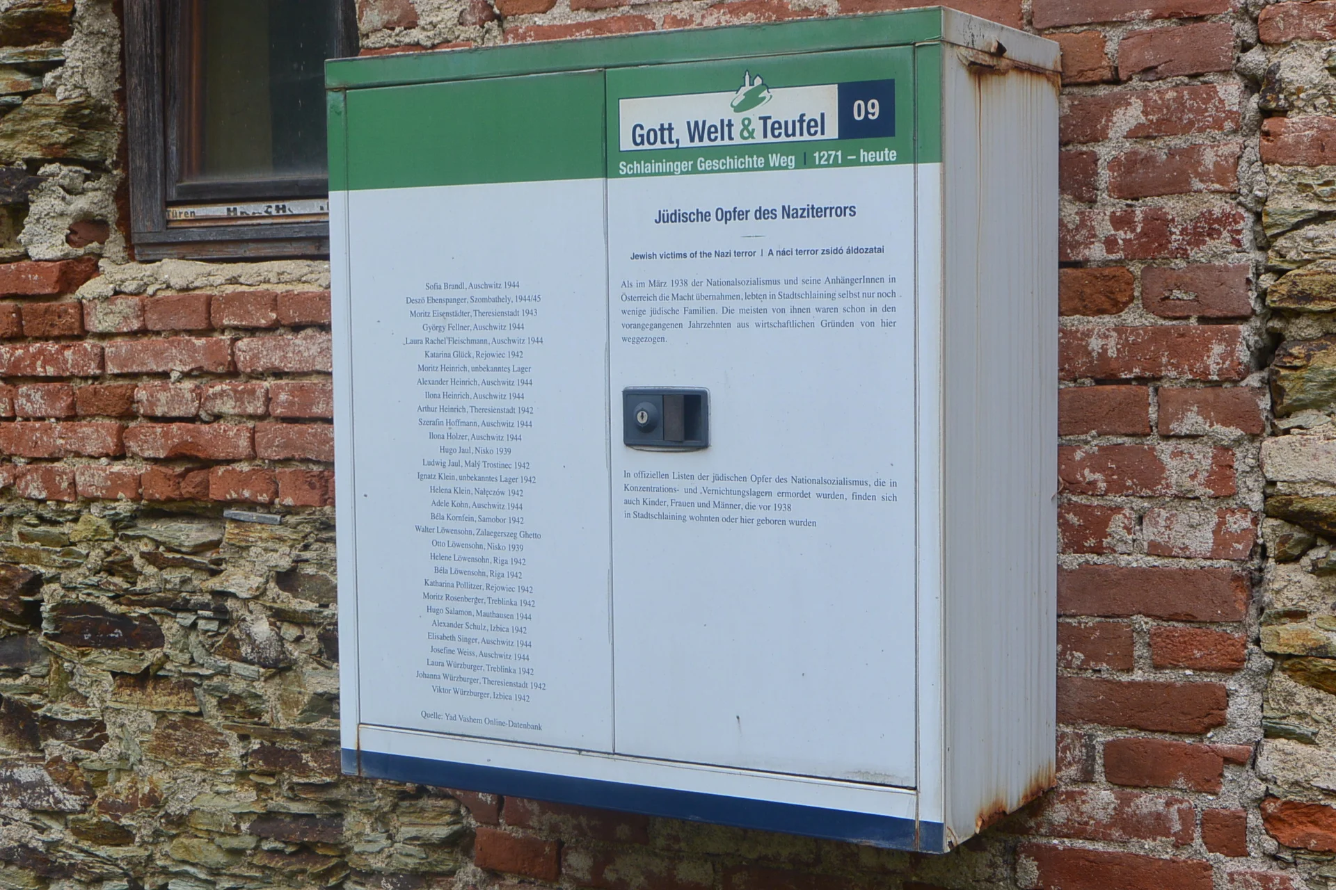
Informationsstation auf jüdischem Friedhof in Stadtschlaining (©Nora Brettl)
Informationsstation auf jüdischem Friedhof in Stadtschlaining (©Nora Brettl) · CC-BY-NC-4.0 · gams.uni-graz.at
In de regio Basteigasse/Vorstadtgasse direct voor de stadsmuur bevond zich vanaf het 18e eeuw tot 1902 de joodse begraafplaats van Stadtschlaining. Na de verdrijving van de joodse bevolking in 1938 werd de begraafplaats vernietigd en overgeleverd aan het verderf. In 2002 slaagde de stichting Shalom en het land Burgenland erin, 70 tot 80 gevonden grafsteenfragmenten in een muur op te stellen tot een grafmonument. Tegenover het monument werd in 2008 aan een huismuur een informatiepunt van de Schlaininger Geschichtsweg aangebracht. 31 joodse slachtoffers uit Stadtschlaining worden genoemd.
Translation · AI tier 5
Sources
- DERLA — Informationsstation auf jüdischem Friedhof in Stadtschlaining (a3f94a63-76b1-4435-8d31-c0032f4dd610) — DERLA — Informationsstation auf jüdischem Friedhof in Stadtschlaining
Evaluations
- Access (vanaf 19-07-2026): Vrij toegankelijk
- Spatial accuracy: 4 — Nauwkeurig
Location & map
Map position available (Point) · spatial accuracy: 4 — Nauwkeurig
Textual location description
alter jüdischer Friedhof, 7461 Stadtschlaining
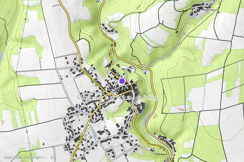
Coordinates (WGS84)47.32494° N, 16.27754° E