
PoH-Code: poh.34344
Information Station on Jewish Cemetery in Stadtschlaining
01/01/2008 – 12/31/2008
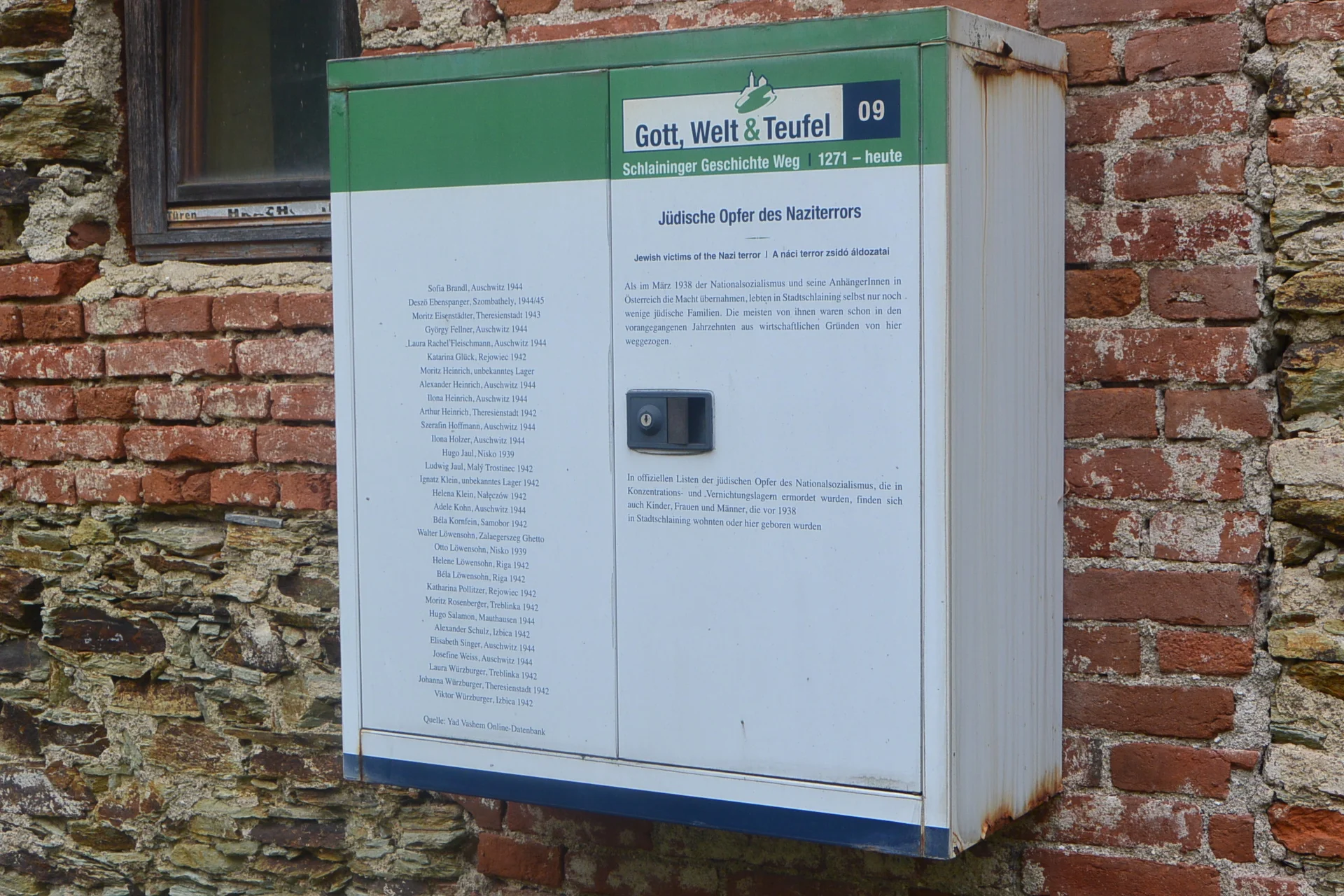
Informationsstation auf jüdischem Friedhof in Stadtschlaining (©Nora Brettl)
Informationsstation auf jüdischem Friedhof in Stadtschlaining (©Nora Brettl) · CC-BY-NC-4.0 · gams.uni-graz.at
In the area of Basteigasse/Vorstadtgasse immediately before the city wall, the Jewish cemetery of Stadtschlaining was located from the 18th century until 1902. After the expulsion of the Jewish population in 1938, the cemetery was devastated and left to decay. In 2002, the association Shalom and the region Burgenland succeeded in re-erecting 70 to 80 found gravestone fragments into a memorial wall. Opposite the memorial, an information station of the Schlaininger Geschichte-Weg was installed on a house wall in 2008. It lists 31 Jewish victims from Stadtschlaining.
Translation · AI tier 5
Sources
- DERLA — Informationsstation auf jüdischem Friedhof in Stadtschlaining (a3f94a63-76b1-4435-8d31-c0032f4dd610) — DERLA — Informationsstation auf jüdischem Friedhof in Stadtschlaining
Evaluations
- Access (from 07/19/2026): Open access
- Spatial accuracy: 4 — Accurate
Location & map
Map position available (Point) · spatial accuracy: 4 — Accurate
Textual location description
alter jüdischer Friedhof, 7461 Stadtschlaining
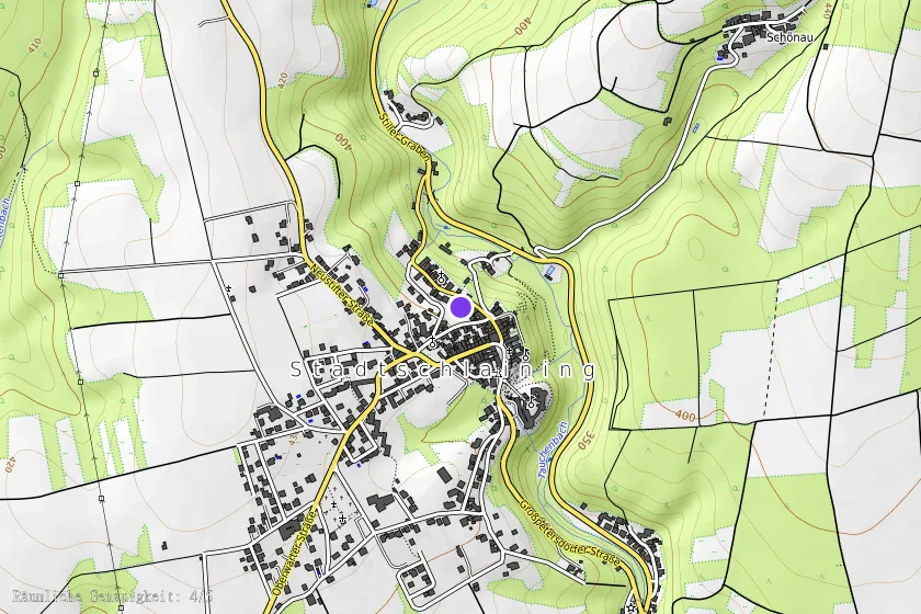
Coordinates (WGS84)47.32494° N, 16.27754° E