
PoH-Code: poh.31771
Grenzstein Ingeborg Neufeld ("Across the Border" 48)
01/01/2022 – 12/31/2022
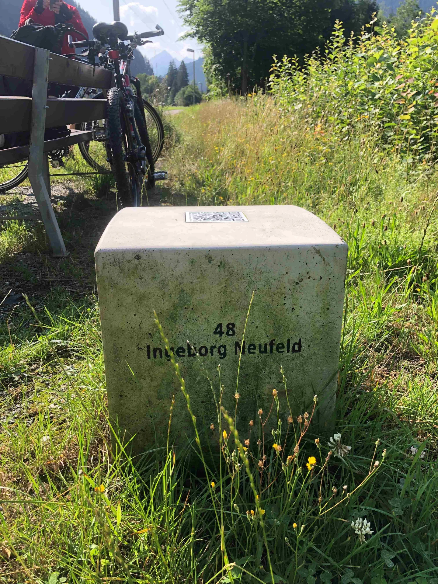
Grenzstein Ingeborg Neufeld ("Über die Grenze" 48), 2023 (© _erinnern.at_)
Grenzstein Ingeborg Neufeld ("Über die Grenze" 48), 2023 (© _erinnern.at_) · CC-BY-NC-4.0 · gams.uni-graz.at
Thousands of refugees tried between March 1938 and May 1945 to reach the saving Switzerland via Vorarlberg: persecuted Jewish women and men, political opponents of the Nazis, deserters, prisoners of war, forced and foreign workers from occupied countries in Europe. Already in the summer of 1938, Switzerland began to seal its borders. Escape helpers on both sides of the border were still able to enable some people to escape, but now there were only illegal ways to freedom. Along the cycling route No. 1, from Bregenz to Partenen, and at selected places in Switzerland, Germany and Liechtenstein, symbolic border stones mark 65 listening stations to these refugee fates, and invite via QR code to immerse oneself in the history of the respective place, to pause and to observe the surroundings attentively. The story of Ingeborg Neufeld can be found at: https://ueber-die-grenze.at/indexprev3.php?id=48
Translation · AI tier 7
Sources
- DERLA — Grenzstein Ingeborg Neufeld ("Über die Grenze" 48) (a5aa182d-f9aa-4961-b805-4c9bbce660a7) — DERLA — Grenzstein Ingeborg Neufeld ("Über die Grenze" 48)
Evaluations
- Access (from 07/19/2026): Open access
- Spatial accuracy: 4 — Accurate
Location & map
Map position available (Point) · spatial accuracy: 4 — Accurate
Textual location description
6791 St. Gallenkirch
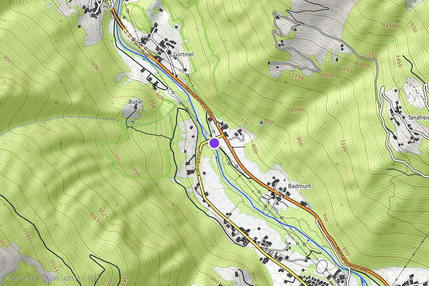
Coordinates (WGS84)47.03310° N, 9.95188° E