PoH-Code: poh.479
Abtenau, minería de carbón Tannbe
—
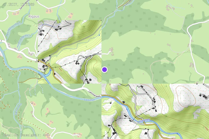
Location & map
Map position available (Point) · spatial accuracy: 4 — Exacto
Textual location description
Lage: Kohlebergbau von 1873 bis 1944. Stollen 1977nur mehr undeutlich sichtbar, der Stollen am Möselberg v