
PoH-Code: poh.37461
Grave site for Soviet soldiers who fell during the liberation of Vienna
01/01/1946 – 12/31/1946
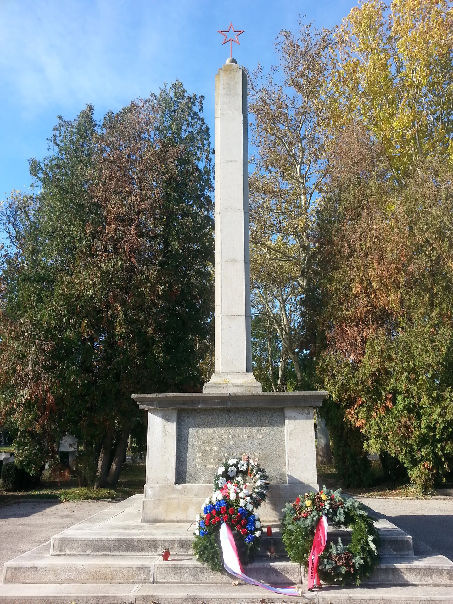
Foto: porem
porem · CC-BY-NC-4.0 · gams.uni-graz.at
The memorial site for Soviet soldiers who fell during the liberation of Vienna is located very prominently directly behind the Church of Saint Karl Borromäus on the Central Cemetery, Group 44B. The 3,600 square meter site was officially opened on August 10, 1946. Already prior to that, soldiers of the Red Army were buried there in graves and pit graves. The site consists of 300 officer graves and 420 soldier graves. In total, 2,469 soldiers are buried in the memorial site who fell during the battle for the city of Vienna. In 1956, those graves and grave markers that had not yet been transferred to the Central Cemetery in 1946 were added. In the center of the site stands a nine-meter-high pillar, crowned with a red star. Four dedication plaques are attached to the base, and at the entrance, two Red Army soldiers with lowered flags and weapons are installed (design: sculptor Iwan Perschudtschew). Behind them are two column groups that define the site with additional inscriptions. A balustrade surrounds the ensemble. The plaques on the base bear Russian inscriptions on the east and west sides, while on the north and south sides the following inscriptions are present:
Translation · AI tier 5
Sources
- DERLA — Grabanlage für bei der Befreiung Wiens gefallene sowjetische Soldaten (b6e0a5a6-7062-4771-a6fe-0e09daf4ecb6) — DERLA — Grabanlage für bei der Befreiung Wiens gefallene sowjetische Soldaten
Evaluations
- Access (from 07/19/2026): Open access
- Spatial accuracy: 4 — Accurate
Location & map
Map position available (Point) · spatial accuracy: 4 — Accurate
Textual location description
Simmeringer Hauptstraße 232, 1110 Wien
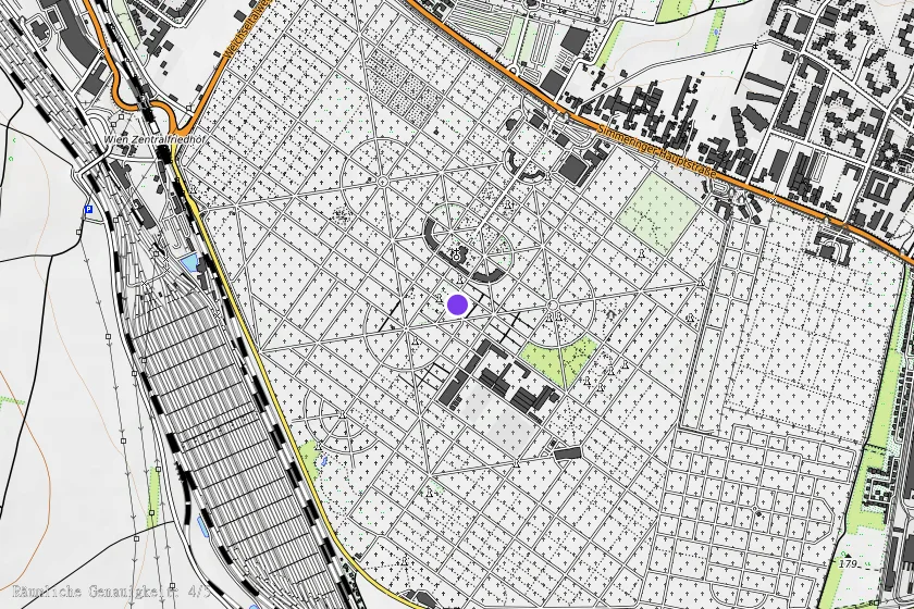
Coordinates (WGS84)48.14944° N, 16.43806° E