PoH-Code: poh.37296
Memorial Plate for the Destruction of the Synagogue Leopoldsgasse
1989-12-31 – 1990-12-30
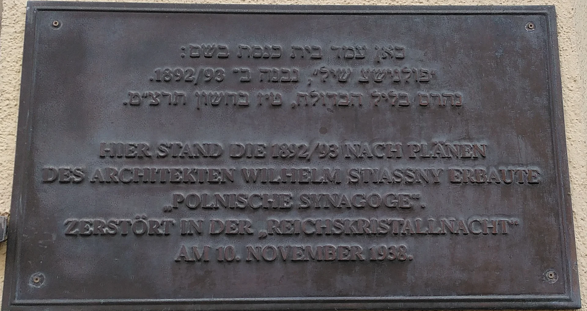
Foto: Nils Münger
Nils Münger · CC-BY-NC-4.0 · gams.uni-graz.at
This memorial to the former synagogue at Leopoldgasse ('Polnische Schul') and the violence of National Socialism was erected in 1990 at Leopoldsgasse 29. It consists of a plaque affixed to the façade of the currently located residential house. The plaque commemorates the violent destruction of the synagogue by National Socialists during the November Pogrom in 1938.
Translation · AI tier 5
Sources
- DERLA — Gedenktafel Zerstörung Synagoge Leopoldsgasse (3e83f4fd-0cc7-46e6-ba99-452e4ccbdd34) — DERLA — Gedenktafel Zerstörung Synagoge Leopoldsgasse
Evaluations
- Access (ab 2026-07-18): Open access
- Spatial accuracy: 4 — Accurate
Location & map
Map position available (Point) · spatial accuracy: 4 — Accurate
Textual location description
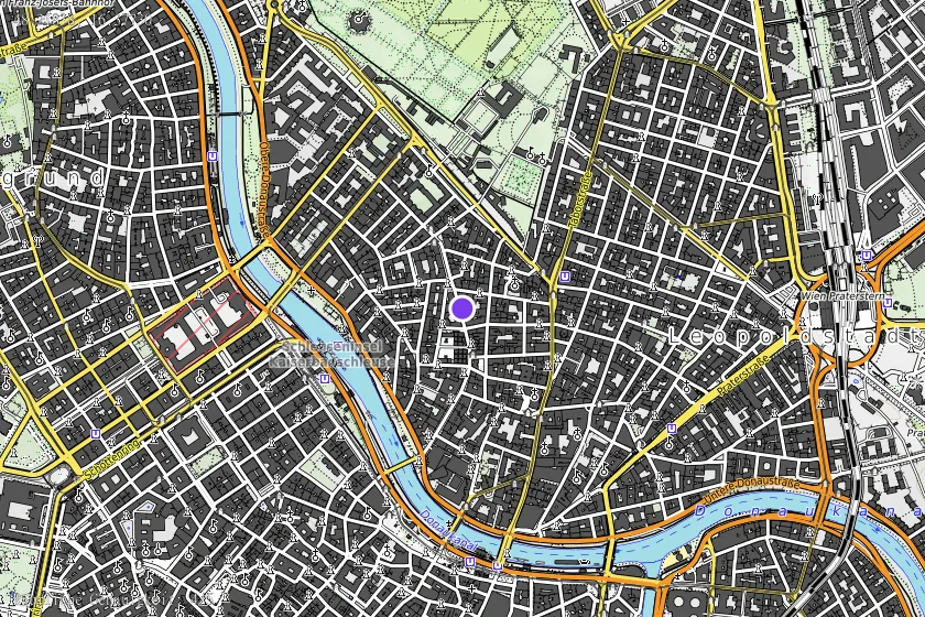
Leopoldsgasse 29, 1020 Wien