
PoH-Code: poh.37295
Memorial Plate for the Destruction of the Synagogue in Kluckygasse
01/01/1988 – 12/31/1988
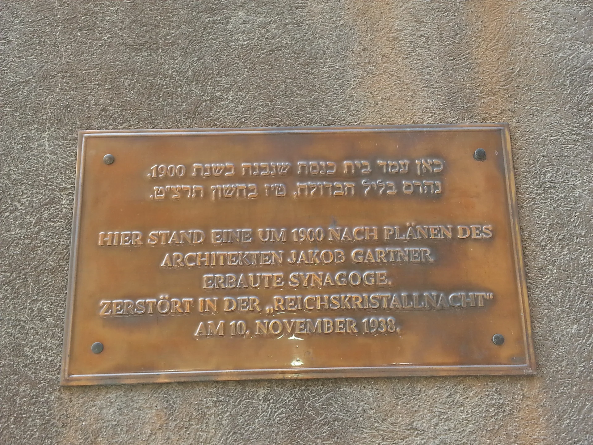
Foto: porem
porem · CC-BY-NC-4.0 · gams.uni-graz.at
On June 12, 1988, a memorial plaque was installed on the façade of the former synagogue at Kluckygasse 11-13 in Kluckygasse.
Translation · AI tier 5
Sources
- DERLA — Gedenktafel Zerstörung Synagoge Kluckygasse (dce082e7-e2fa-4df6-89c5-4fdfa696acd9) — DERLA — Gedenktafel Zerstörung Synagoge Kluckygasse
Evaluations
- Access (from 07/19/2026): Open access
- Spatial accuracy: 4 — Accurate
Location & map
Map position available (Point) · spatial accuracy: 4 — Accurate
Textual location description
Kluckygasse 11-13, 1200 Wien
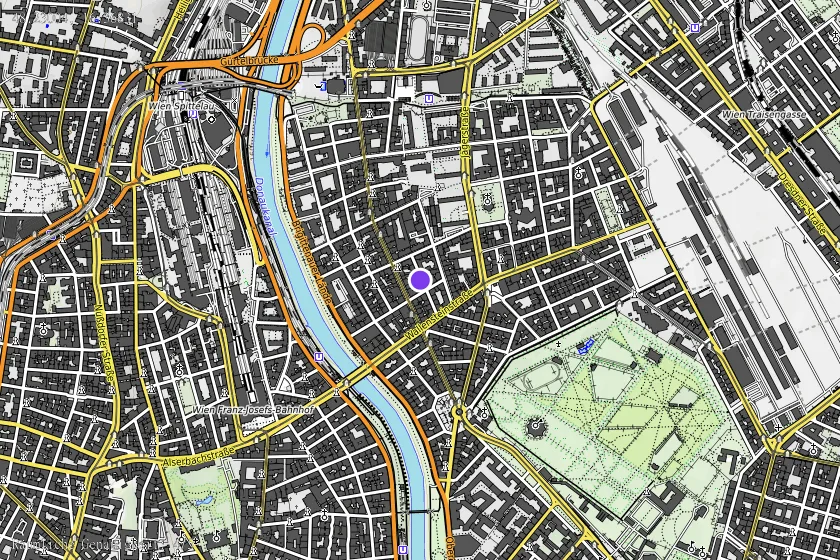
Coordinates (WGS84)48.23004° N, 16.36831° E