
PoH-Code: poh.36693
Memorial Plate "Reason for Dismissal: Non-Aryan" - Karl-Höger-Hof
01/01/1999 – 12/31/1999
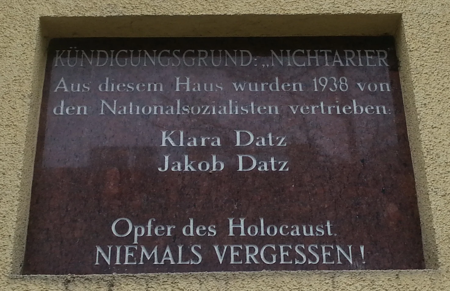
Foto: porem
porem · CC-BY-NC-4.0 · gams.uni-graz.at
At the Karl-Höger-Hof in Lorystraße 40, a memorial plaque for Jewish tenants who had been expelled from the municipal housing by the National Socialists in 1938 was unveiled on 22 September 1999 as part of the project "Kündigungsgrund: 'Nichtarier'". The project "Kündigungsgrund: 'Nichtarier'" was conducted by the Volkshochschule Simmering under the leadership of Walter Schuster. The research into the expulsion of Jewish tenants from the Viennese municipal housing under National Socialism in the years 1938 and 1939 was initiated by the archivist, librarian and employee at the Documentation Center of the Austrian Resistance, Herbert Exenberger, who had published the study "Kündigungsgrund Nichtarier. The Expulsion of Jewish Tenants from Viennese Municipal Housing in the Years 1938 and 1939" together with Johann Koß and Brigitte Ungar-Klein in 1996. In 1999, the exhibition "Kündigungsgrund Nichtarier" was shown at Bücherei Wien 11. The project was concluded with a "historical walk" through Simmering, during which five memorial plaques at municipal housing buildings were unveiled. Jakob Datz (born 12 November 1899) and Klara (Chaje) Datz (born 3 February 1892) lived until 1938 in apartment 2 on floor 2. Jakob Datz was deported to Nisko on 26 October 1939 and murdered. Klara Datz was deported to the extermination camp Sobibór on 14 June 1942 and murdered.
Translation · AI tier 5
Sources
- DERLA — Gedenktafel "Kündigungsgrund Nichtarier" - Karl-Höger-Hof (50fc4b1a-0cdc-4e2c-a07b-7bb7d792fdc7) — DERLA — Gedenktafel "Kündigungsgrund Nichtarier" - Karl-Höger-Hof
Evaluations
- Access (from 07/19/2026): Open access
- Spatial accuracy: 4 — Accurate
Location & map
Map position available (Point) · spatial accuracy: 4 — Accurate
Textual location description
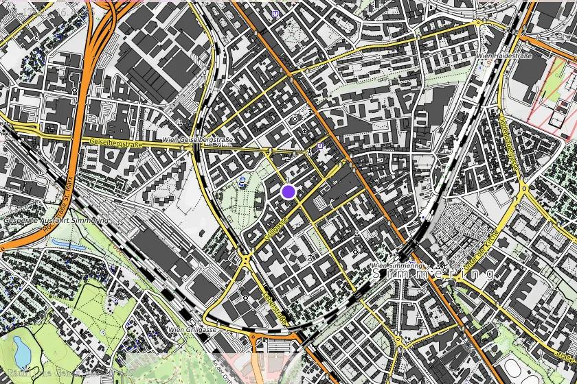
Lorystraße 40, 1110 Wien
Coordinates (WGS84)48.17281° N, 16.41276° E