
PoH-Code: poh.36325
Image of the Synagogue Kluckygasse
01/01/2008 – 12/31/2008
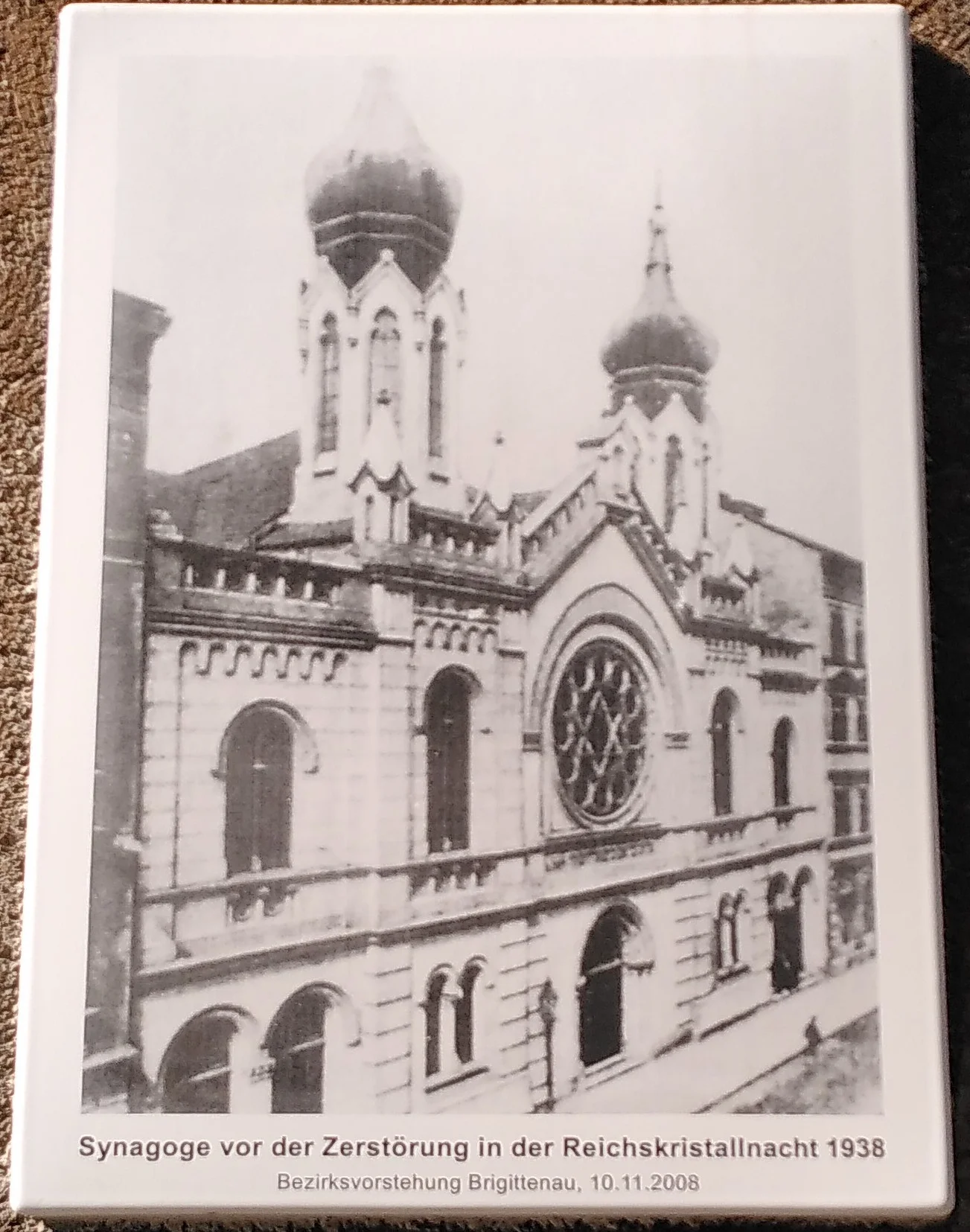
Foto: Nils Münger
Nils Münger · CC-BY-NC-4.0 · gams.uni-graz.at
On November 10, 2008, a memorial plaque was unveiled on the façade of the municipal apartment building complex Kluckygasse 11–13 in the district of Brigittenau, commemorating the association synagogue of the Brigittenauer Israelitischen Tempelverein. It was located at this site until it was destroyed by the National Socialists during the November pogroms of 1938.
Translation · AI tier 5
Sources
- DERLA — Bild der Synagoge Kluckygasse (781c46e6-f685-4137-b3d3-13bed0cb0558) — DERLA — Bild der Synagoge Kluckygasse
Evaluations
- Access (from 07/19/2026): Open access
- Spatial accuracy: 4 — Accurate
Location & map
Map position available (Point) · spatial accuracy: 4 — Accurate
Textual location description
Kluckygasse 11-13, 1200 Wien
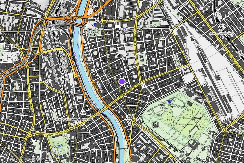
Coordinates (WGS84)48.23004° N, 16.36829° E