
PoH-Code: poh.36111
Memorial for a crashed Allied bomber at Lasshofer Alm
—

Gedenkstätte für einen abgestürzten alliierten Bomber, 2024 (© Marlene Horejs)
Gedenkstätte für einen abgestürzten alliierten Bomber, 2024 (© Marlene Horejs) · CC-BY-NC-4.0 · gams.uni-graz.at
At Lasshofer Alm in Lessach, a framed information sheet and the wreckage of an airplane part commemorate the crash of an Allied military aircraft and its crew. During the so-called "Big Week" in February 1944, the Allies attacked a number of centers of the German and Austrian arms industry from the air. On February 25, 1944, several Allied aircraft were shot at and brought down in the mountainous area of Hochgolling between the Salzburg Lungau and Styria. The plaque states that the bomber with serial number 42-30310 from Group 301 of Squadron 419 was shot down by German fighters below the barracks at the ridge of Schneegrube-Burgerkar. However, information about which aircraft and crew members were hit at specific locations varies depending on the sources and cannot be confirmed with certainty. It is clear that several British, Canadian, and American crew members lost their lives during the attacks, although a few were able to escape by parachute.
Translation · AI tier 7
Sources
- DERLA — Gedenkstätte für einen abgestürzten alliierten Bomber bei der Lasshofer Alm (767f749e-619d-48eb-8936-11a7ee17884c) — DERLA — Gedenkstätte für einen abgestürzten alliierten Bomber bei der Lasshofer Alm
Evaluations
- Access (from 07/19/2026): Open access
- Spatial accuracy: 4 — Accurate
Location & map
Map position available (Point) · spatial accuracy: 4 — Accurate
Textual location description
Lasshofer Alm, 5575 Lessach
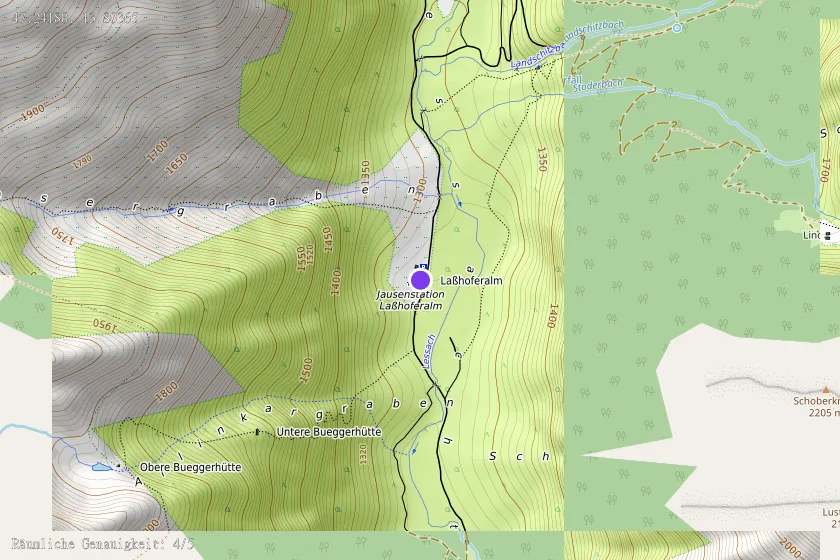
Coordinates (WGS84)47.24180° N, 13.80365° E