
PoH-Code: poh.35927
Memorial for Soviet Victims of Nazi Forced Labor in Kaprun
—
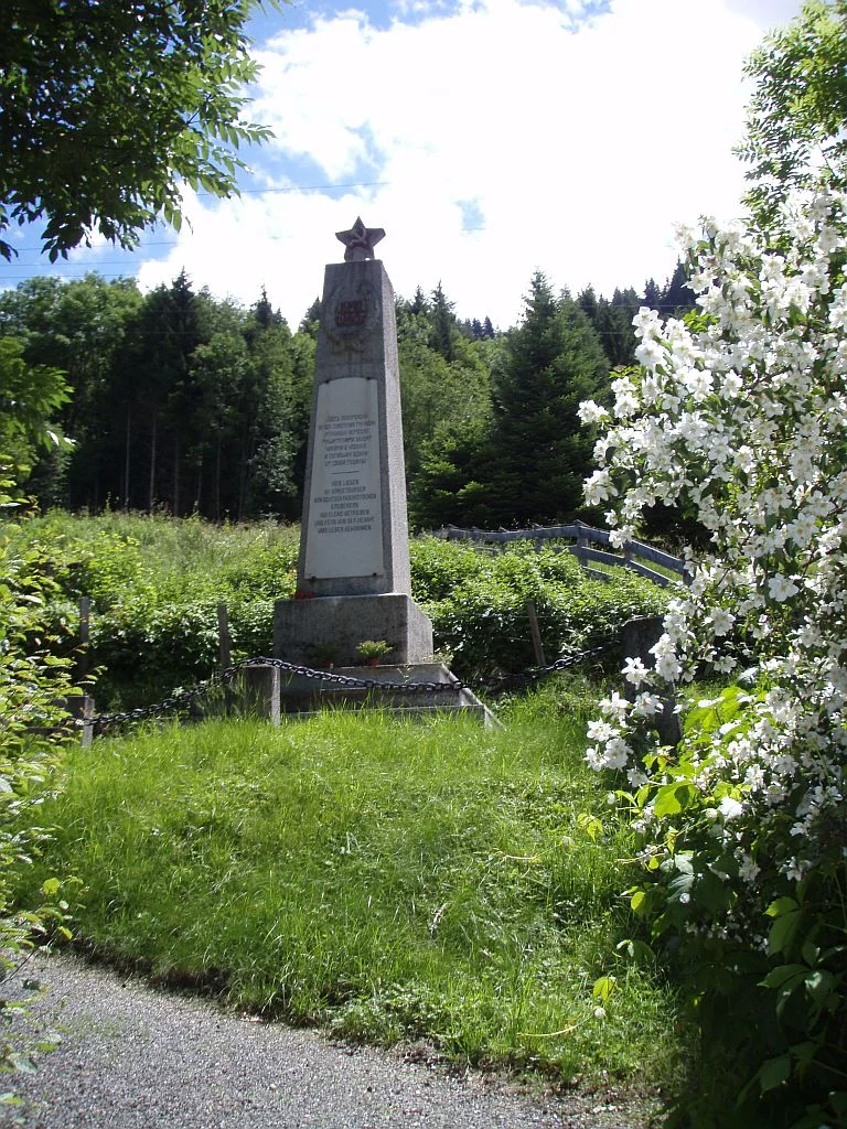
Gedenkstätte für die sowjetischen Opfer der NS-Zwangsarbeit, 2007, 2024 (© Christina Nöbauer, Hasan Softić)
Gedenkstätte für die sowjetischen Opfer der NS-Zwangsarbeit, 2007, 2024 (© Christina Nöbauer, Hasan Softić) · CC-BY-NC-4.0 · gams.uni-graz.at
The memorial site for Soviet victims in Schloßstraße in Kaprun remembers all those prisoners of war and forced laborers from the Soviet Union who were involved in the construction of the power plant. Initial plans for building a power plant in the High Tauern existed already during the interwar period, however, these were never realized. After the "Anschluss" in March 1938, the National Socialists took up these plans; the existing energy reserves were to be used for the war and armaments economy. The foundation stone – laid by Hermann Göring – was already set in May 1938; the planned construction period was ten years. Death cases occurred repeatedly, caused by avalanches or rockfalls; accidents due to inadequate equipment and the poor physical condition of the workers were also not uncommon. The Kaprun power plant group was completed in 1955 and is today seen as a symbol of the post-Second World War reconstruction of the Republic. However, the inhumane NS forced labor and the resulting deaths and murdered individuals are often overlooked and forgotten.
Translation · AI tier 5
Sources
- DERLA — Gedenkstätte für sowjetische Opfer der NS-Zwangsarbeit in Kaprun (b3622062-6869-469e-ae3b-43e8979070c0) — DERLA — Gedenkstätte für sowjetische Opfer der NS-Zwangsarbeit in Kaprun
Evaluations
- Access (from 07/19/2026): Open access
- Spatial accuracy: 4 — Accurate
Location & map
Map position available (Point) · spatial accuracy: 4 — Accurate
Textual location description
Schloßstraße 46, 5710 Kaprun
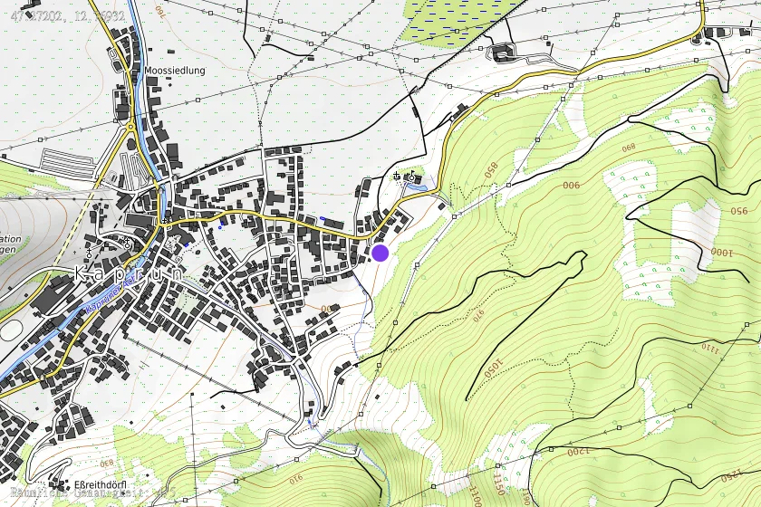
Coordinates (WGS84)47.27202° N, 12.76932° E