
PoH-Code: poh.35919
Monument to Peace
01/01/2015 – 12/31/2015
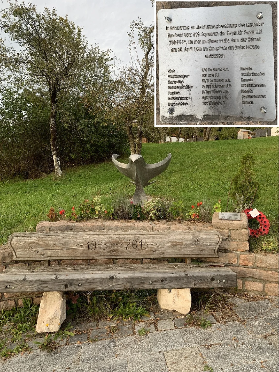
Denkmal für den Frieden, 2024 (© Marlene Horejs)
Denkmal für den Frieden, 2024 (© Marlene Horejs) · CC-BY-NC-4.0 · gams.uni-graz.at
On April 25, 1945, the British Royal Air Force launched a final combat mission against the so-called "Führersperrgebiet" on the Bavarian Obersalzberg. The bomber LM756 F-Freddy of Squadron No. 619, crewed by British and Canadian personnel, was shot down by German anti-aircraft missiles and crashed on a hillside of the Schlenkens in the district of Spumberg in Adnet. Four of the seven crew members died in the crash. Seventy years later, on the initiative of Adnet's mayor Wolfgang Auer, a "Monument to Peace" was erected at the crash site in memory of the deceased. Students from the HTL Hallein, together with the Schipflinger foundry, crafted a welded dove from the wreckage of the aircraft, which was inaugurated during a large commemorative ceremony: On April 24, 2015, around 1,500 visitors came to Spumberg, among them political and military delegations from Great Britain, Canada, and Austria, relatives of the crew members, and local associations. Under the motto "The enemies of yesterday are the friends of today," a cross-border ceremony was organized, which was flown over by a unit of the Austrian Armed Forces as a gesture of honor.
Translation · AI tier 5
Sources
- DERLA — Denkmal für den Frieden (ae5512ea-e0f3-487d-b5b7-4c41d38d77fd) — DERLA — Denkmal für den Frieden
Evaluations
- Access (from 07/19/2026): Open access
- Spatial accuracy: 4 — Accurate
Location & map
Map position available (Point) · spatial accuracy: 4 — Accurate
Textual location description
Trautenstatt, Spumberg, 5421 Adnet
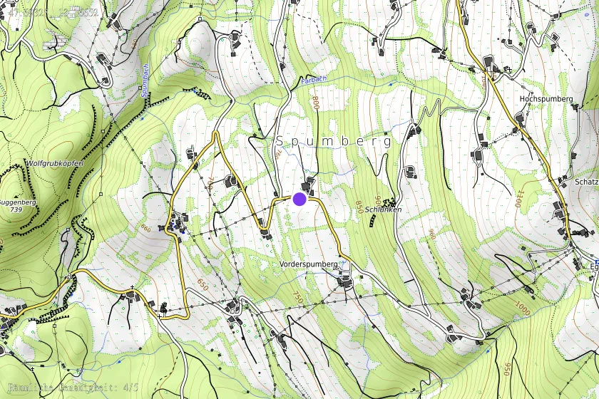
Coordinates (WGS84)47.69325° N, 13.16652° E