
PoH-Code: poh.35717
Monument for expelled Sudeten Germans at the Municipal Cemetery
01/01/1961 – 12/31/1961
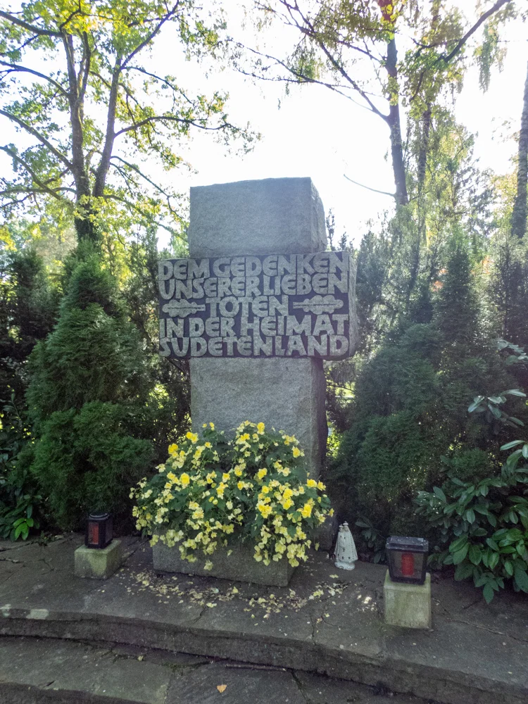
Denkmal für vertriebene Sudetendeutsche am Kommunalfriedhof
Denkmal für vertriebene Sudetendeutsche am Kommunalfriedhof · CC-BY-NC-4.0 · gams.uni-graz.at
The memorial for expelled Sudetendeutsche is located at the Salzburg Municipal Cemetery, and since 1961 it has commemorated the fate of numerous people who had to leave their homeland after the end of the Second World War. The Sudetendeutsche lived in Bohemia, Moravia and Silesia, that is, on territories that after the dissolution of the Habsburg monarchy belonged to the newly founded Czechoslovakia. These German-speaking areas were incorporated into the "German Reich" following the Munich Agreement of 1938, and in 1939 the entire Czech territory was annexed, with the Slovak Republic declaring its independence. Under Nazi rule, many Czech*innen were victims of Nazi persecution and oppression, with Sudetendeutsche also participating in the crimes of the National Socialists. Czechia was finally liberated by the Americans and Soviets in 1945. This liberation led to the flight and expulsion of 800,000 so-called "Volksdeutsche". A year later, an "Aussiedlung" ordered by the authorities began, which claimed over two million lives. The integration of the expelled Sudetendeutsche into the majority society initially progressed slowly, and only from the 1970s onwards did assimilation processes gradually become noticeable.
Translation · AI tier 5
Sources
- DERLA — Denkmal für vertriebene Sudetendeutsche am Kommunalfriedhof (95d9f068-3e67-4616-9018-6d3f2a31ee00) — DERLA — Denkmal für vertriebene Sudetendeutsche am Kommunalfriedhof
Evaluations
- Access (from 07/19/2026): Open access
- Spatial accuracy: 4 — Accurate
Location & map
Map position available (Point) · spatial accuracy: 4 — Accurate
Textual location description
Gneiser Straße 8, 5020 Salzburg
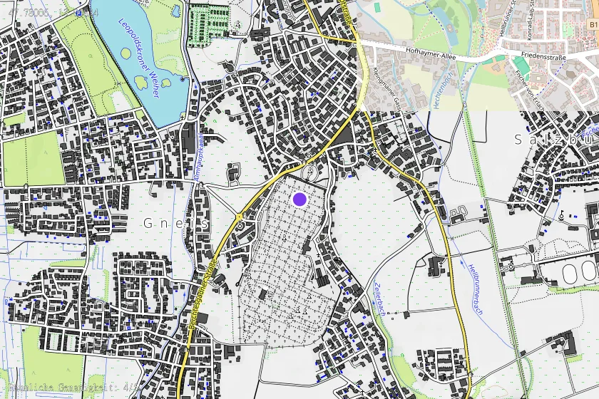
Coordinates (WGS84)47.78006° N, 13.04834° E