
PoH-Code: poh.34670
Memorial Plaque in Memory of the Division of the Community of Liefering within the Framework of the Construction of the "Reichsautobahn" (Liefering Cultural Walking Trail)
01/01/2004 – 12/31/2004
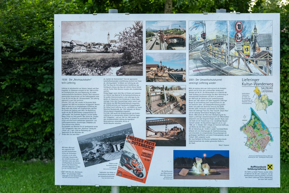
Gedenktafel in Erinnerung an die Teilung der Gemeinde Liefering im Rahmen des Baus der "Reichsautobahn" (Liefering Kulturwanderweg), 2024 (© Sebastian Sillinger)
partizanstvo.si · CC-BY-NC-4.0 · gams.uni-graz.at
In the village square of Liefering, a memorial plaque recalls the construction of the “Reichsautobahn” and the division of the community of Liefering that took place in 1938 as a result. The construction of the autobahn was presented by the NS-propaganda as a “Weltwunder” (world wonder). Already in 1937, the autobahn connection between Munich and the Austrian border had been completed. In April 1938 – only a few weeks after the “Anschluss” – the foundation stone was laid on the Walserberg for the continuation of the road over Linz to Vienna. In order to carry out the construction properly, it was necessary to divide the community of Liefering; numerous houses had to make way for the construction. Initially, around 600 workers of the “Reichsarbeitsdienst” were employed for the construction, but from 1939 or 1940 onwards, Polish and French prisoners of war were used as forced labour. Due to the war, work came to a halt in 1942 and could only be completed after the end of the Second World War.
Translation · AI tier 5
Sources
- DERLA — Gedenktafel in Erinnerung an die Teilung der Gemeinde Liefering im Rahmen des Baus der "Reichsautobahn" (Liefering Kulturwanderweg) (7cf1dd2d-687a-4b04-b067-6d09ea8182e7) — DERLA — Gedenktafel in Erinnerung an die Teilung der Gemeinde Liefering im Rahmen des Baus der "Reichsautobahn" (Liefering Kulturwanderweg)
Evaluations
- Access (from 07/19/2026): Open access
- Spatial accuracy: 4 — Accurate
Location & map
Map position available (Point) · spatial accuracy: 4 — Accurate
Textual location description
Kirchengasse 31, 5020 Salzburg
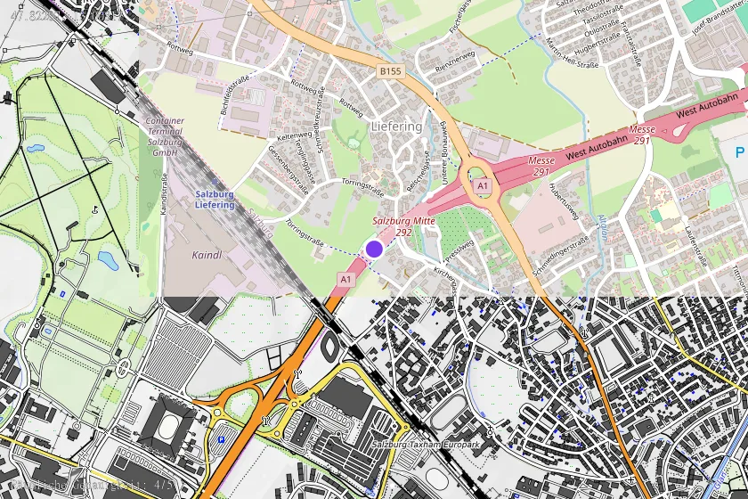
Coordinates (WGS84)47.82207° N, 13.00817° E