
PoH-Code: poh.34524
Information Board Synagoge Kobersdorf
—
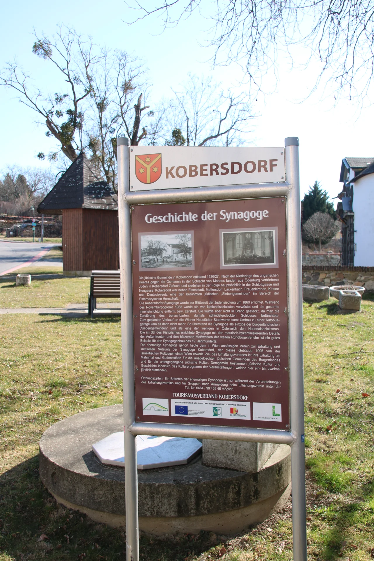
Informationstafel Synagoge Kobersdorf (©Nora Brettl)
partizanstvo.si · CC-BY-NC-4.0 · gams.uni-graz.at
The Tourismusverband Kobersdorf erected an information board opposite the synagogue, documenting the history of the Kobersdorf synagogue. The interior of the synagogue, built in 1860, was devastated during the Reichspogromnacht on 9 November 1938 by the National Socialists and later used by the local SA as a gymnasium and club house. The planned demolition of the building in 1941 did not take place. In the following years, the synagogue gradually fell into disrepair, and only the most necessary restoration works were carried out until 2019. Afterwards, the state of Burgenland initiated a comprehensive restoration of the former synagogue in Kobersdorf.
Translation · AI tier 5
Sources
- DERLA — Informationstafel Synagoge Kobersdorf (b2268e88-b946-46c6-870e-9fd6d65e7f47) — DERLA — Informationstafel Synagoge Kobersdorf
Evaluations
- Access (from 07/19/2026): Open access
- Spatial accuracy: 4 — Accurate
Location & map
Map position available (Point) · spatial accuracy: 4 — Accurate
Textual location description
Schlossgasse, 7332 Kobersdorf
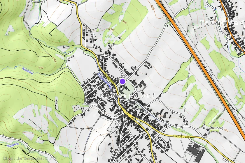
Coordinates (WGS84)47.59812° N, 16.39203° E