
PoH-Code: poh.34516
Information board on Jewish cemetery Kobersdorf
01/01/1995 – 12/31/1995
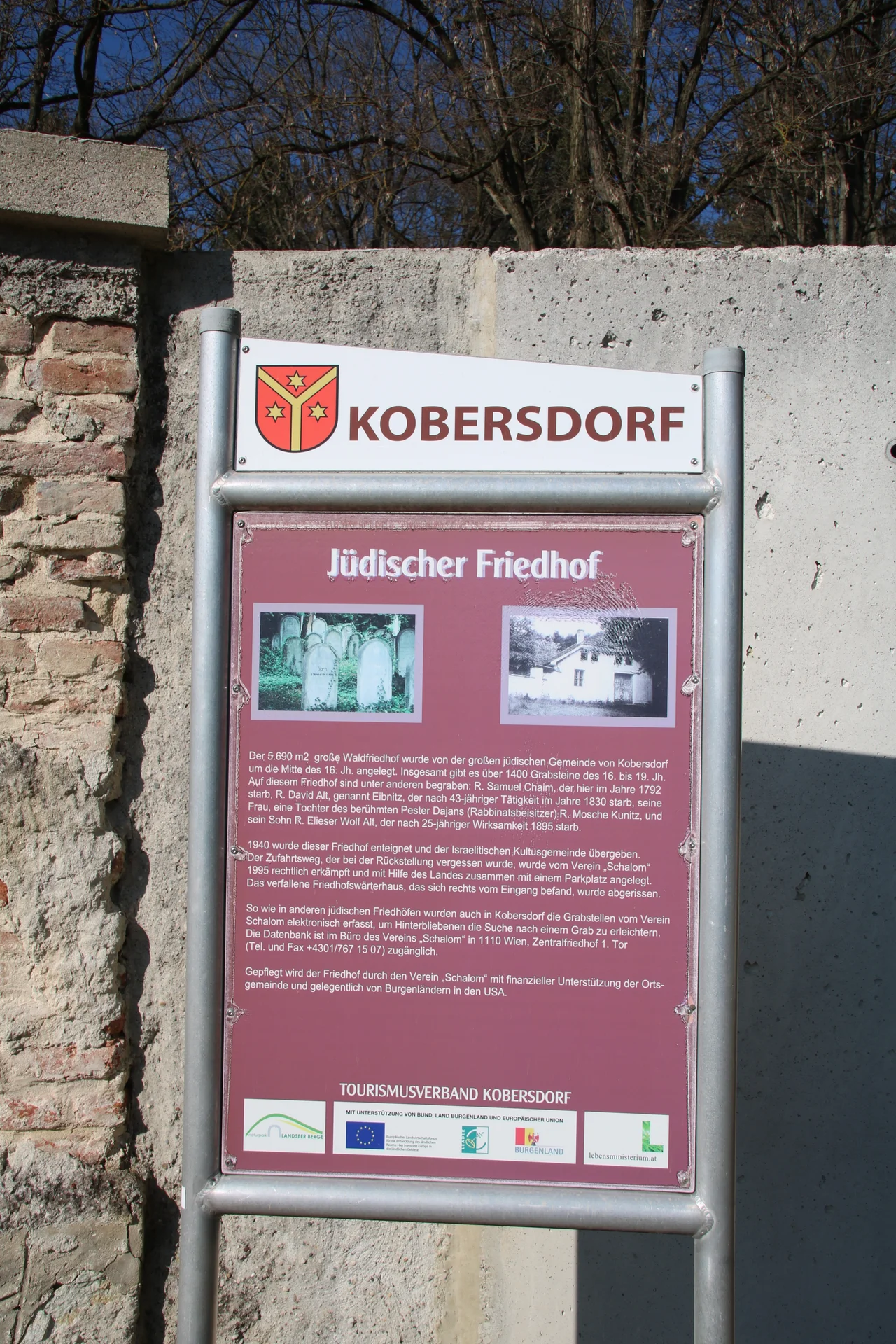
Informationstafel auf jüdischem Friedhof Kobersdorf (©Nora Brettl)
partizanstvo.si · CC-BY-NC-4.0 · gams.uni-graz.at
Close to the center of Kobersdorf, on a hill in a forest, lies the Jewish cemetery of Kobersdorf. In addition to the approximately 650 gravestones, fallen gravestones or fragments of gravestones are stacked against the front wall of the cemetery. Among the fragments is also part of the gravestone of a Genisagrab, a grave for unused Torah scrolls. 13 Torah scrolls were buried on April 20, 1938, the day on which also the last rabbi, Simon Goldberger from Kobersdorf, was expelled. In 1940, the Kobersdorf cemetery was seized by the National Socialists. Next to the gate at the cemetery wall stands an information board that documents the fluctuating history of the Jewish cemetery in Kobersdorf. A memorial plaque on the cemetery wall points to the cemetery caretaker's house.
Translation · AI tier 5
Sources
- DERLA — Informationstafel auf jüdischem Friedhof Kobersdorf (f63a4687-e703-4e72-b4dc-5dd508bc0f1b) — DERLA — Informationstafel auf jüdischem Friedhof Kobersdorf
Evaluations
- Access (from 07/19/2026): Open access
- Spatial accuracy: 4 — Accurate
Location & map
Map position available (Point) · spatial accuracy: 4 — Accurate
Textual location description
Waldgasse, 7332 Kobersdorf
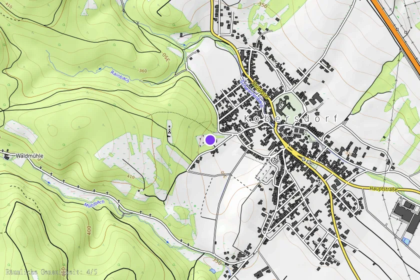
Coordinates (WGS84)47.59548° N, 16.38583° E