
PoH-Code: poh.34298
Memorial for civilian victims of political tyranny in Pöttsching
01/01/2008 – 12/31/2008
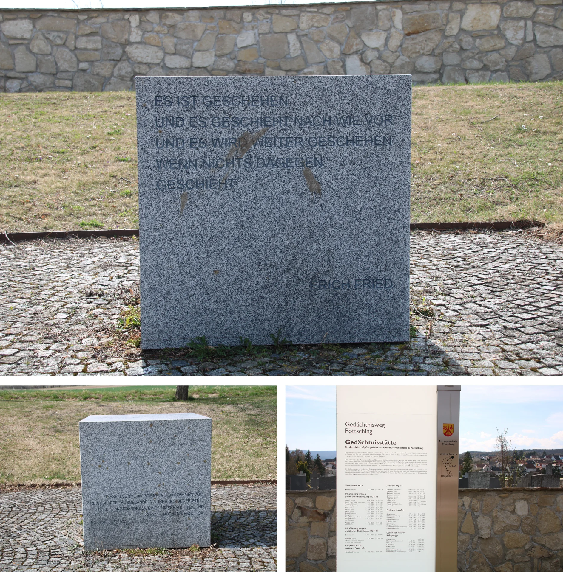
Gedächtnisstätte für zivile Opfer politischer Gewaltherrschaften in Pöttsching (©Nora Brettl)
Gedächtnisstätte für zivile Opfer politischer Gewaltherrschaften in Pöttsching (©Nora Brettl) · CC-BY-NC-4.0 · gams.uni-graz.at
Directly next to the cemetery in Pöttsching is the memorial site for civilian victims of the regimes, which is part of the Pöttschinger Memorial Trail, connecting the war memorial, cemetery and memorial site. On initiative of the local sculptor Karl Prantl, who was born and lives in Pöttsching, and the community of Pöttsching, the memorial site was established in 2008. For the design of the memorial trail, Karl Prantl provided three grey granite slabs, which originally came from the assembly square of the Nazi Party Rally Grounds in Nuremberg. In addition to the three stone slabs, the memorial site consists of a memorial stone with two inscriptions. Furthermore, near the outer cemetery wall stands an information and memorial plaque, on which the Pöttschinger victims of the dictatorships between 1934 and 1945 are listed in groups.
Translation · AI tier 5
Sources
- DERLA — Gedächtnisstätte für zivile Opfer politischer Gewaltherrschaften in Pöttsching (2a3d4435-33e0-45ad-951c-5d9609e2497a) — DERLA — Gedächtnisstätte für zivile Opfer politischer Gewaltherrschaften in Pöttsching
Evaluations
- Access (from 07/19/2026): Open access
- Spatial accuracy: 4 — Accurate
Location & map
Map position available (Point) · spatial accuracy: 4 — Accurate
Textual location description
Seestraße-Bereich Friedhofseingang, 7033 Pöttsching
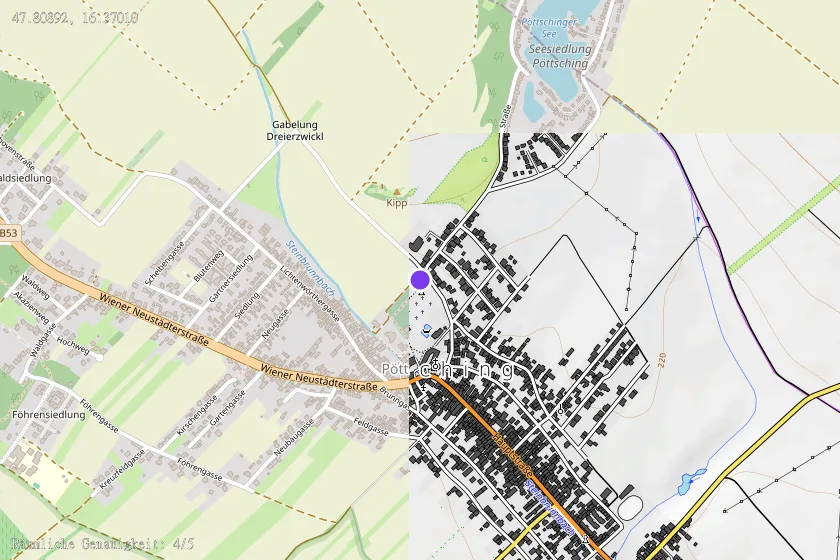
Coordinates (WGS84)47.80892° N, 16.37010° E