PoH-Code: poh.3419
Bunker Hauptschule Hötting
—
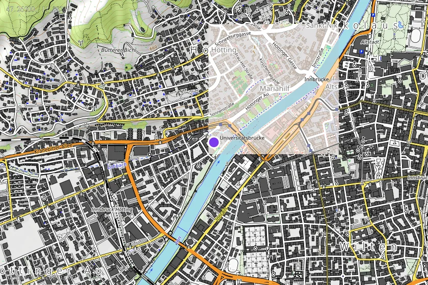
Posizione e mappa
Posizione sulla mappa disponibile (Punto) · spatial accuracy: 4 — Accurato
Descrizione testuale della posizione
Bundesland: Tirol Gemeinde: Innsbruck KG-Nr. (Fundplatz): 81111 Parzellen: 1574/4 Lage: Der ehem. Bunker befindet sich unter dem Sportplatz der Hauptschule Hötting zwischen Hutterweg, Fürstenweg und Prandtauerufer. Östlicher Teil von Gst. Nr. 1574/4 bleibt aktive Fundstelle, da nicht von Tiefgarage berührt.