
PoH-Code: poh.33707
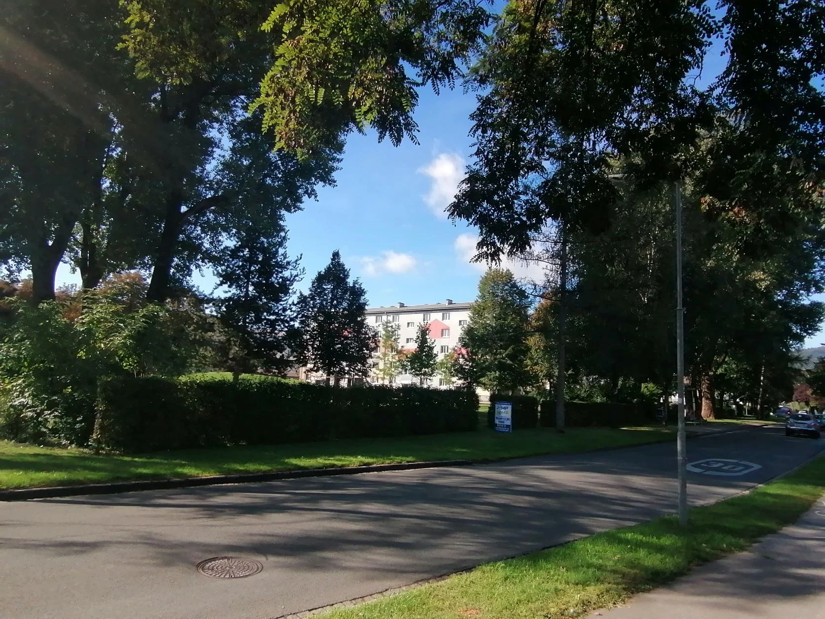
In Klagenfurt Waidmannsdorf, in the area between Kranzmayerstraße, Siebenhügelstraße, Hirschenwirthstraße and Hubertusstraße there was during World War II a large camp site. There were forced laborers and prisoners of war
—
DERLA / GAMS, Universität Graz · CC-BY-NC-4.0 · gams.uni-graz.at
In Waidmannsdorf, Klagenfurt, in the area between Kranzmayerstraße, Siebenhügelstraße, Hirschenwirthstraße and Hubertusstraße there was during the Second World War a large camp site. There, forced laborers and prisoners of war of different nationalities were interned. They were employed for various tasks, one of which was the drainage of the flood areas of the Sattnitz in the south of Klagenfurt. How many people were interned on the large site is not known. During a bombing attack on 19 February 1945, six inmates of the camp died, including a woman. They were buried at the Friefhof Annbichl and in the 1970s transferred to the Soldiers' Cemetery St. Veit an der Glan. The forced laborer camp Waidmannsdorf is an unmarked memorial site; there is no memorial sign reminding people of it on site.
Translation · AI tier 5
Sources
- DERLA — In Klagenfurt Waidmannsdorf, im Bereich zwischen der Kranzmayerstraße, Siebenhügelstraße, Hirschenwirthstraße und Hubertusstraße befand sich während des Zweiten Weltkriegs ein riesiges Lagergelände. Dort waren ZwangsarbeiterInnen und Kriegsgefangene unter (a1548cae-a70f-4baa-a29c-6debce44d68b) — DERLA — In Klagenfurt Waidmannsdorf, im Bereich zwischen der Kranzmayerstraße, Siebenhügelstraße, Hirschenwirthstraße und Hubertusstraße befand sich während des Zweiten Weltkriegs ein riesiges Lagergelände. Dort waren ZwangsarbeiterInnen und Kriegsgefangene unter
Evaluations
- Access (from 07/19/2026): Open access
- Spatial accuracy: 4 — Accurate
Location & map
Map position available (Point) · spatial accuracy: 4 — Accurate
Textual location description
Kranzmayerstraße 17, 9020 Klagenfurt/Celovec
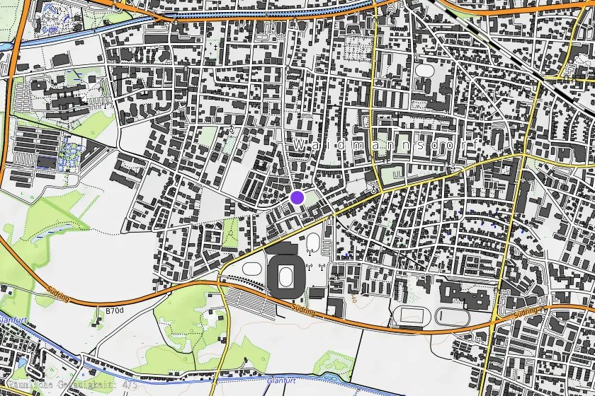
Coordinates (WGS84)46.61223° N, 14.27895° E