
PoH-Code: poh.33563
Information board for the eastern facade of the Landhaus (Gauhaus) Innsbruck
01/01/2024 – 12/31/2024
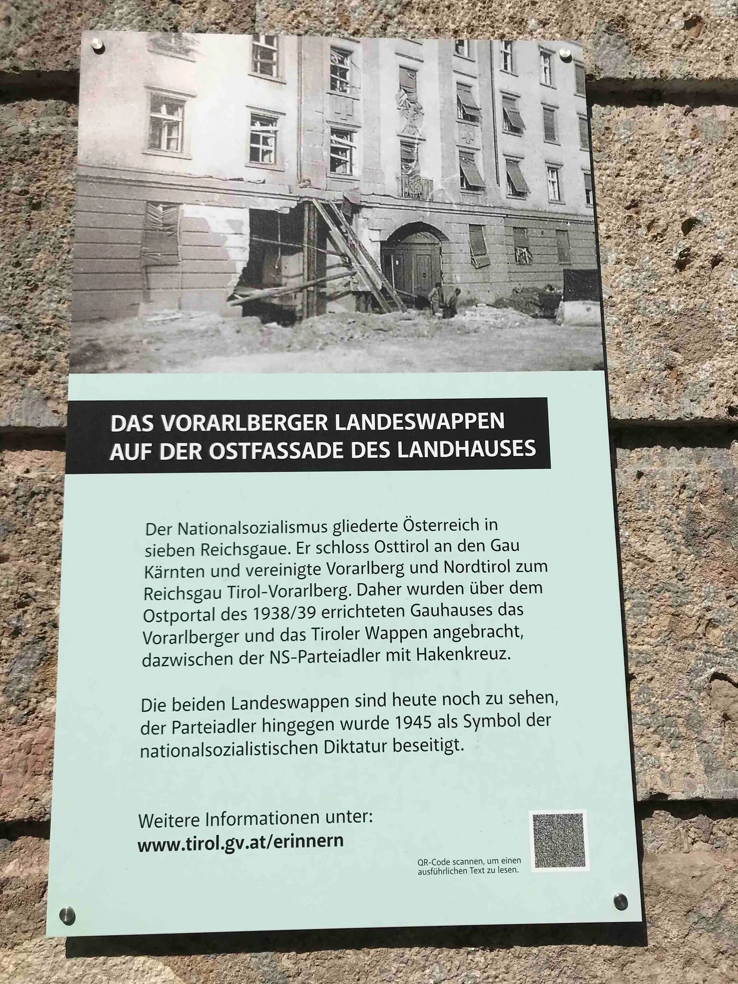
Informationstafel zur Ostfassade des Landhauses (Gauhauses) Innsbruck, 2024 (© Horst Schreiber)
Informationstafel zur Ostfassade des Landhauses (Gauhauses) Innsbruck, 2024 (© Horst Schreiber) · CC-BY-NC-4.0 · gams.uni-graz.at
The National Socialists built a Gaue building, now known as the Landhaus with the seat of the Tyrolean state government, at the current Eduard-Wallnöfer-Platz in 1938/39. By the end of 1941, the building, officially termed the Landhaus expansion, was finally completed. Since Vorarlberg was annexed to Tyrol during the NS period – forming the Gaue Tirol-Vorarlberg – the National Socialists not only placed the Tyrolean but also the Vorarlberger coat of arms on the east façade. Between them stood the NS Party eagle with swastika, which was torn down in 1945.
Translation · AI tier 5
Sources
- DERLA — Informationstafel zur Ostfassade des Landhauses (Gauhauses) Innsbruck (74705f00-fd7d-4e24-a475-a73cb6689283) — DERLA — Informationstafel zur Ostfassade des Landhauses (Gauhauses) Innsbruck
Evaluations
- Access (from 07/19/2026): Open access
- Spatial accuracy: 4 — Accurate
Location & map
Map position available (Point) · spatial accuracy: 4 — Accurate
Textual location description
Wilhelm Greil Straße 20, 6020 Innsbruck
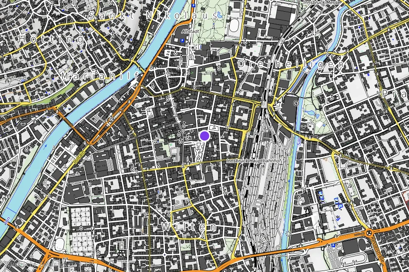
Coordinates (WGS84)47.26447° N, 11.39669° E