
PoH-Code: poh.33357
Albert-Troppmairweg Wattens
01/01/1950 – 12/31/1950
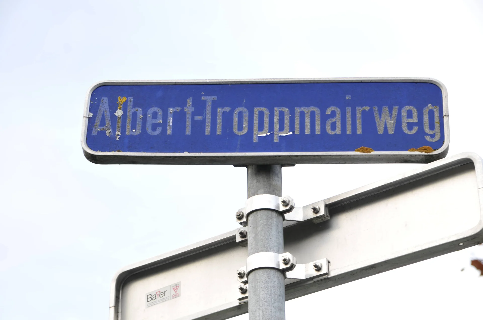
Albert-Troppmairweg Wattens, 2020 (© Natascha Osler)
Albert-Troppmairweg Wattens, 2020 (© Natascha Osler) · CC-BY-NC-4.0 · gams.uni-graz.at
Albert Troppmair was the leader of a small local resistance group. He was killed in a firefight with SS units when he was hit by fire from advancing US troops. On 9.3.1950, the community of Wattens unanimously decided, at the request of mayor Franz Mark, to name a street in Albert Troppmair after him at Kreuzbichl. In 1955, a street that encircled Kreuzbichl was created as a result of active construction work. The town council declared this traffic area the Kreuzbühelstraße and discontinued the Troppmair Street, which would have otherwise been a section of the encircling street. On 29.4.1955, the town council decided to rename the former Kreuzbühelweg from the Innsbrucker Straße to Kreuzbühelhöhe into the Albert-Troppmairweg.
Translation · AI tier 5
Sources
- DERLA — Albert-Troppmairweg Wattens (538803fb-e239-47a0-9f1d-9e993f02f1be) — DERLA — Albert-Troppmairweg Wattens
Evaluations
- Access (from 07/19/2026): Open access
- Spatial accuracy: 4 — Accurate
Location & map
Map position available (Point) · spatial accuracy: 4 — Accurate
Textual location description
Albert-Troppmairweg, 6112 Wattens
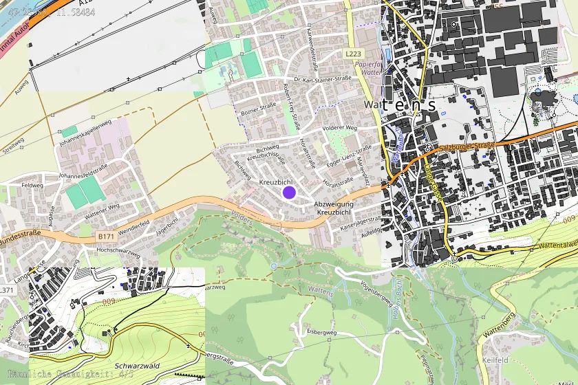
Coordinates (WGS84)47.28985° N, 11.58484° E