
PoH-Code: poh.33171
Memorial and Information Site for the 360 Victims of NS-Euthanasia from the Former Heil- and Pflegeanstalt Hall in Tirol on the Premises of Landeskrankenhaus Hall
01/01/2020 – 12/31/2020
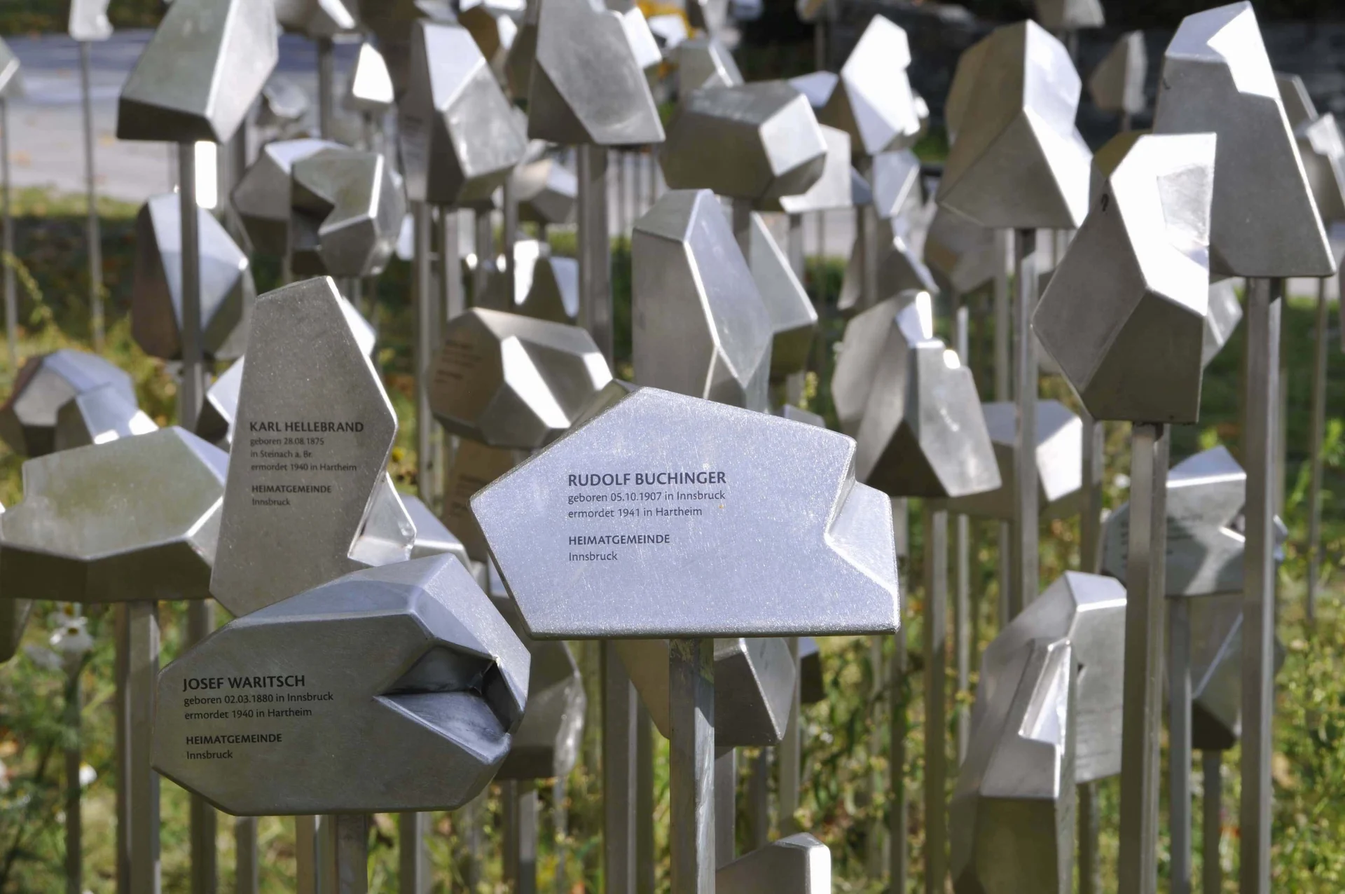
Gedenk- und Informationsort des LKH Hall in Tirol, 2020 (© Natascha Osler)
Gedenk- und Informationsort des LKH Hall in Tirol, 2020 (© Natascha Osler) · CC-BY-NC-4.0 · gams.uni-graz.at
The memorial, funded by Tirol Kliniken, Land Tirol and Vorarlberg, and the Future and National Fund of the Republic of Austria, consists of 360 steles for those people who were deported by the NS authorities from the Heil- and Pflegeanstalt Hall to the killing centres Hartheim and Niedernhart in Linz. A depression on the top of the steles symbolizes the gap left by the murdered people. Inscribed are the date and place of birth, year and place of killing, and the home community. The varying height and design of the steles emphasize the uniqueness of the victims. The steles are arranged like a simplified map according to the home communities of the victims, from Vorarlberg through Tirol towards the east. An information terminal provides biographical information in simple language about the victims, historically researched by Oliver Seifert and Andrea Sommerauer. The memorial plaque is designed as a tactile model with listening stations for people with visual impairments.
Translation · AI tier 7
Sources
- DERLA — Gedenk- und Informationsort für die 360 Opfer der NS-Euthanasie aus der ehemaligen Heil- und Pflegeanstalt Hall in Tirol am Gelände des Landeskrankenhaus Hall (c054bf0c-ce3d-4402-bae9-92b52d9f2e75) — DERLA — Gedenk- und Informationsort für die 360 Opfer der NS-Euthanasie aus der ehemaligen Heil- und Pflegeanstalt Hall in Tirol am Gelände des Landeskrankenhaus Hall
Evaluations
- Access (from 07/19/2026): Open access
- Spatial accuracy: 4 — Accurate
Location & map
Map position available (Point) · spatial accuracy: 4 — Accurate
Textual location description
Thurnfeldgasse 14, am LKH Gelände zwischen den Gebäuden 5 und 3, 6060 Hall in Tirol
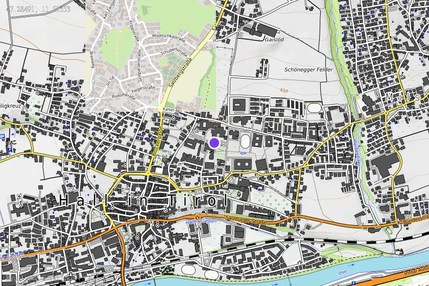
Coordinates (WGS84)47.28491° N, 11.51353° E