
PoH-Code: poh.33170
Memorial Wall / Place of Light for those buried in the NS era in the Institution Cemetery on the grounds of the State Hospital Hall
01/01/2015 – 12/31/2015
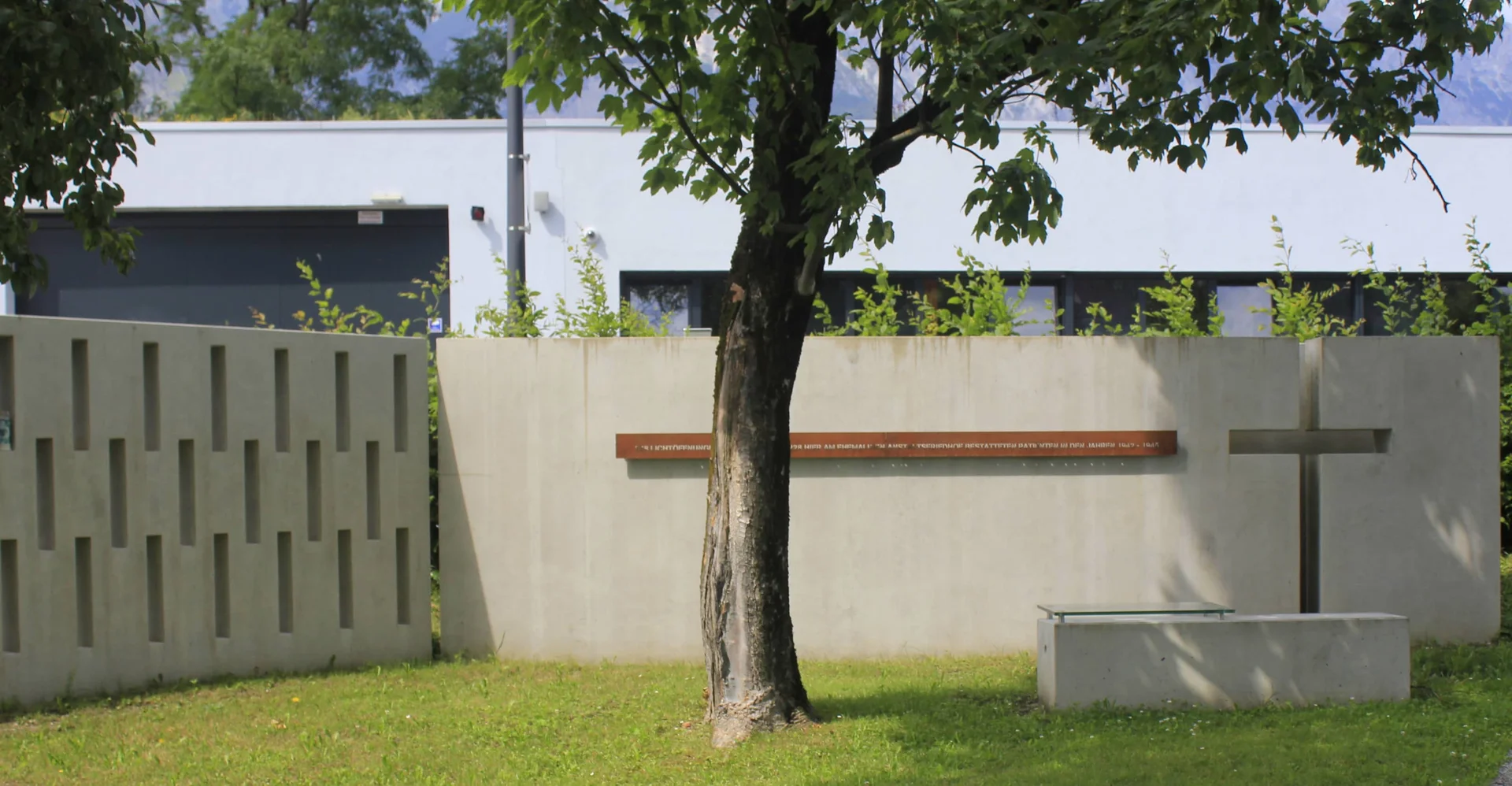
Gedenkmauer am Gelände des Landeskrankenhauses Hall in Tirol, 2019 (© Oliver Seifert, Peter Paul Pontiller)
Gedenkmauer am Gelände des Landeskrankenhauses Hall in Tirol, 2019 (© Oliver Seifert, Peter Paul Pontiller) · CC-BY-NC-4.0 · gams.uni-graz.at
In 2010, the hospital operator Tirol Kliniken discovered during planning work the former institution cemetery of the Heil- und Pflegeanstalt Hall, dating back to the NS era. The high mortality rate during the NS period was caused by the interaction of cold, overcrowding, insufficient medical and nursing care, and malnutrition, due to the NS health policy, which regarded psychiatric patients as "useless eaters." The Innsbruck architects Peter Paul Pontiller and Oswald Schweiggl created a wall referred to as a "light place." Light slits symbolize the abandoned 228 graves, while cutouts represent the memorial cross, which had never been erected on the former institution cemetery. On November 8, 2015, Bishop Manfred Scheuer and Superintendent Olivier Dante consecrated the memorial site. The mortal remains of the 228 people were reinterred in a newly built memorial at the City Cemetery in Hall.
Translation · AI tier 5
Sources
- DERLA — Gedenkmauer / Lichtort für die in der NS-Zeit im Anstaltsfriedhof begrabenen PatientInnen am Gelände des Landeskrankenhaus Hall (c8afe717-d167-4b45-b2f2-524c86a2ade2) — DERLA — Gedenkmauer / Lichtort für die in der NS-Zeit im Anstaltsfriedhof begrabenen PatientInnen am Gelände des Landeskrankenhaus Hall
Evaluations
- Access (from 07/19/2026): Open access
- Spatial accuracy: 4 — Accurate
Location & map
Map position available (Point) · spatial accuracy: 4 — Accurate
Textual location description
Thurnfeldgasse 16, neben Parkplatz/Spielplatz, 6060 Hall in Tirol
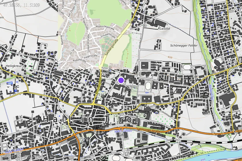
Coordinates (WGS84)47.28556° N, 11.51209° E