PoH-Code: poh.28073
GANČANI-Spomenik Štefanu Kovaču-Marku
—
partizanstvo.si / Arhiv Geopedia · CC-BY 4.0 (privzeta licenca) · Preneseno iz Geopedije.
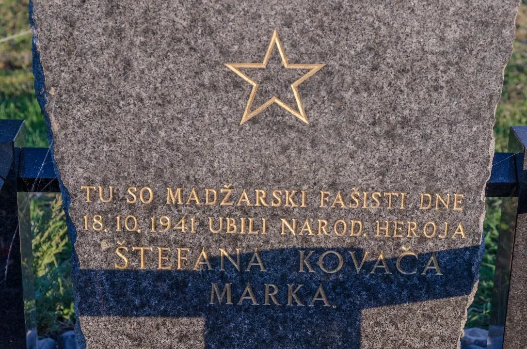
On the local road Beltinci-Gančani, in the oak forest, there should have been a meeting of the regional committee of the KPS for Prekmurje in the evening of 18 October 1941. The meeting location had been agreed upon, and the first to arrive were Štefan Koval and Vinko Megla, organizers of the uprising against the occupier. The location and time of the meeting had been announced, and the Magyars had thoroughly guarded and blocked it with barbed wire. Their goal was to capture or kill all members of NOG in Prekmurje who were expected to attend the meeting. When Evgen Kardoš whistled the agreed melody, Štefan Kovač responded with the whistle. He lit a flashlight, which illuminated the place where Kovač and Megla were waiting. Then, a shot was fired and Štefan Kovač fell dead. Vinko was lightly wounded and managed to escape. The remaining committee members, Miško Kranjec, Martin Žalik and Štefan Horvat, who had come to the meeting across the field from the direction of the village of Lipa, heard the shots and turned around.
Granite memorial (unveiled 1951), placed at the site where the Hungarian fascists in 1941 shot Štefan Kovač, organizer of NOB in Prekmurje.
EŠD 1258
The memorial was erected by the municipal organization ZZB NOV Beltinci on the 10th anniversary of the event on 18 October 1951.
Monuments of our revolution, Ljubljana: Mladinska knjiga, 1961, p. 238.
Image source 4: FB Franc Štibernik
.
Password: herojsmrt123
Translation · AI tier 5
Sources
- Partizanstvo.si — Partizanski spomeniki (#2418) (b9e94ca9-f6c1-4ff8-a9c4-00692db1d8f0) — Partizanstvo.si — Partizanski spomeniki (#2418)
Links
Location & map
Map position available (Point) · spatial accuracy: 4 — Accurate
Textual location description
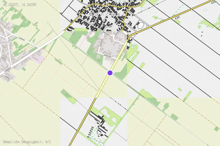
Severno od Beltincev, na južnem robu Gančanov, ob cesti Gančani - Beltinci.