
PoH-Code: poh.27804
Hruševica, cemetery, Krt Slavko
—
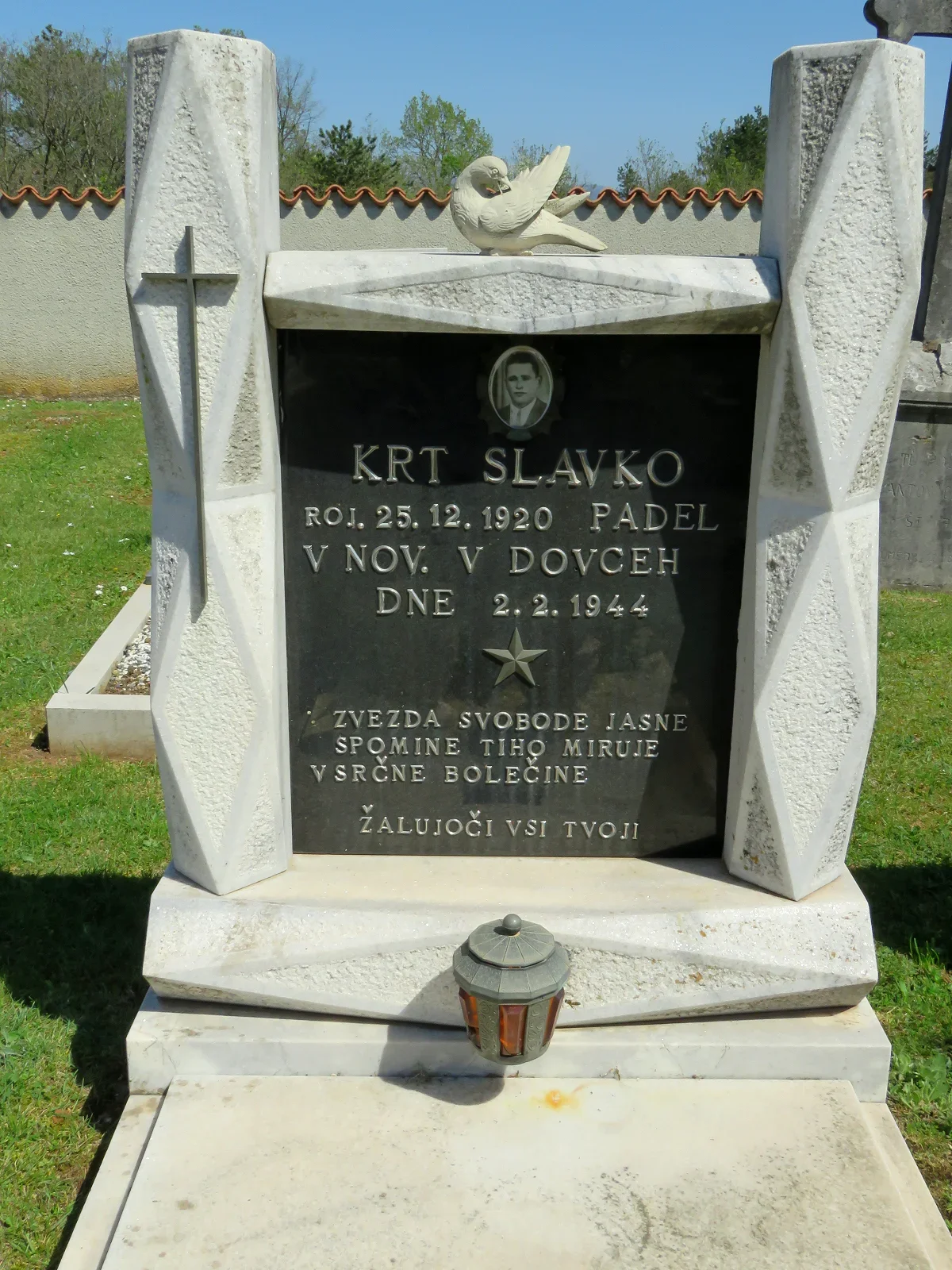
partizanstvo.si / Arhiv Geopedia · CC-BY 4.0 (privzeta licenca) · Preneseno iz Geopedije.
Grave slab is surrounded by pillars, on the left is a cross, and between the pillars stands a marble dove. On the slab is a text under an oval photograph of the deceased.
Sistory states: Name and surname: Stanislav Krt, Father: Augustin, Mother: Jožefa, Date of birth: 04. 07. 1908, Place of birth: Hruševica, Place of residence: Hruševica, Old municipality: Štanjel, New municipality: Komen, Profession (social status): No data, Date of death/disappearance: 02. 02. 1944, Place of death/disappearance: Dovce pri Komnu, Country of burial: Slovenia.
In the brochure "Južnoprimorski borci", published by the committee of the Južnoprimorski odred of the IX. korpusa NOV and POJ at the municipal committee of the Zveza borcev NOV Sežana, we find a longer account of the "Komenska action", carried out by the Južnoprimorski odred on 2 February 1944 on Rovni or in Dovce between Komn and Rihemberk. It also includes an excerpt from the Vojaški vestnik of the IX. korpusa from 19. 2. 1944, where on the first page it reads: "The biggest blow to the occupier on the Yugoslav territories; units of the Južnoprimorski odred completely destroyed the German-Italian police column. [..] In this battle, five comrades gave their lives in the charge against the enemy, among them the brave commander of the platoon, comrade Slavko. […]
In the first platoon, the commander Slavko Krt from Hruševica and the machine gunner Henrik Markič from Bazare were killed, from the third platoon [..]"
Dorica Makuc, In gnojili boste nemško zemljo, Gorica: Goriška Mohorjeva družba KTD in SSO, 1990, pp. 17, 18.
Translation · AI tier 5
Sources
- Partizanstvo.si — Partizanski spomeniki (#8952) (247d7d39-f457-4dd2-a141-d2b891db3918) — Partizanstvo.si — Partizanski spomeniki (#8952)
Links
Location & map
Map position available (Point) · spatial accuracy: 4 — Accurate
Textual location description
Hruševica, pokopališče, levo pred mrliško vežico Hiša v bližini: Hruševica 58
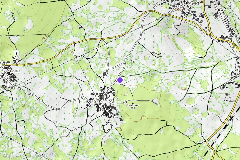
Coordinates (WGS84)45.81285° N, 13.83114° E