
PoH-Code: poh.26841
Grave of Fernando Degrassi, Cemetery Izola
—
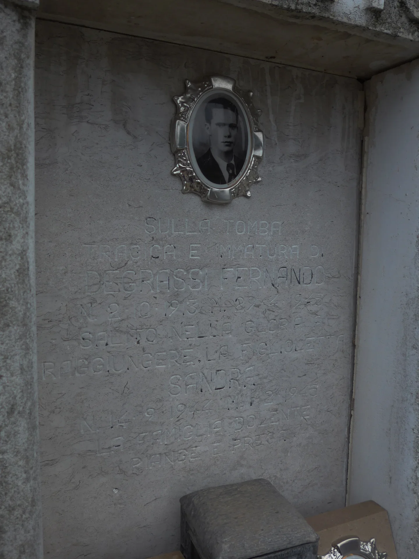
partizanstvo.si / Arhiv Geopedia · CC-BY 4.0 (privzeta licenca) · Preneseno iz Geopedije.
Fernando Degrassi was one of the four fallen partisan members of the Naval Unit Koper in the clash with retreating Germans on 29 April 1945.
In 1944, when the Second World War entered its final phase, the conditions were created for the establishment of naval units and observation posts along the coast between Tržič and the Dragonja River. The German army was losing its strength on all fronts. On 4 March 1944, the naval staff proposed to the Supreme Command of the Yugoslav People's Army (NOV) and the People's Liberation Army (POJ) to start preparations for the establishment of the I. Coastal Naval Sector and to request from the Main Staff of Slovenia the availability of all former members of the royal navy. On 24 September 14 (according to some sources, on 25 September 15) a group of naval officers arrived at the IX. Corps headquarters in Lokve, assigned by the naval staff to organize naval units in the Slovene coast. On 23 September, the IX. Corps headquarters of NOV and POJ sent an order to the Command of the Istrian Military District, stating that a naval detachment would be located on the area of the VII. Corps of NOV and POJ under the command of Franc Dermote with the task of establishing combat units on the coastal sector of the Slovene coast and Slovene Istria. Franc Dermote arrived together with two partisans in Istria at the beginning of October, and on 15 October the Naval Unit NOVJ Koper was established, which was only officially named by an order dated 6 November 1944.
Translation · AI tier 5
Sources
- Partizanstvo.si — Partizanski spomeniki (#9423) (f9960810-f049-4477-a333-032491a4ccbd) — Partizanstvo.si — Partizanski spomeniki (#9423)
Links
Location & map
Map position available (Point) · spatial accuracy: 4 — Accurate
Textual location description
Pokopališče Izola, ob levi steni
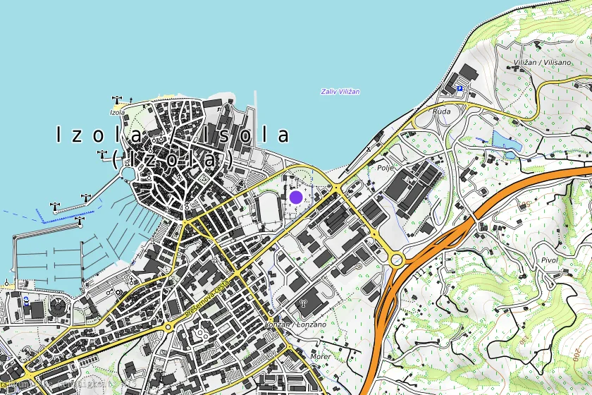
Coordinates (WGS84)45.53768° N, 13.66691° E