
PoH-Code: poh.25909
Gorenje, Zager Stanko
—
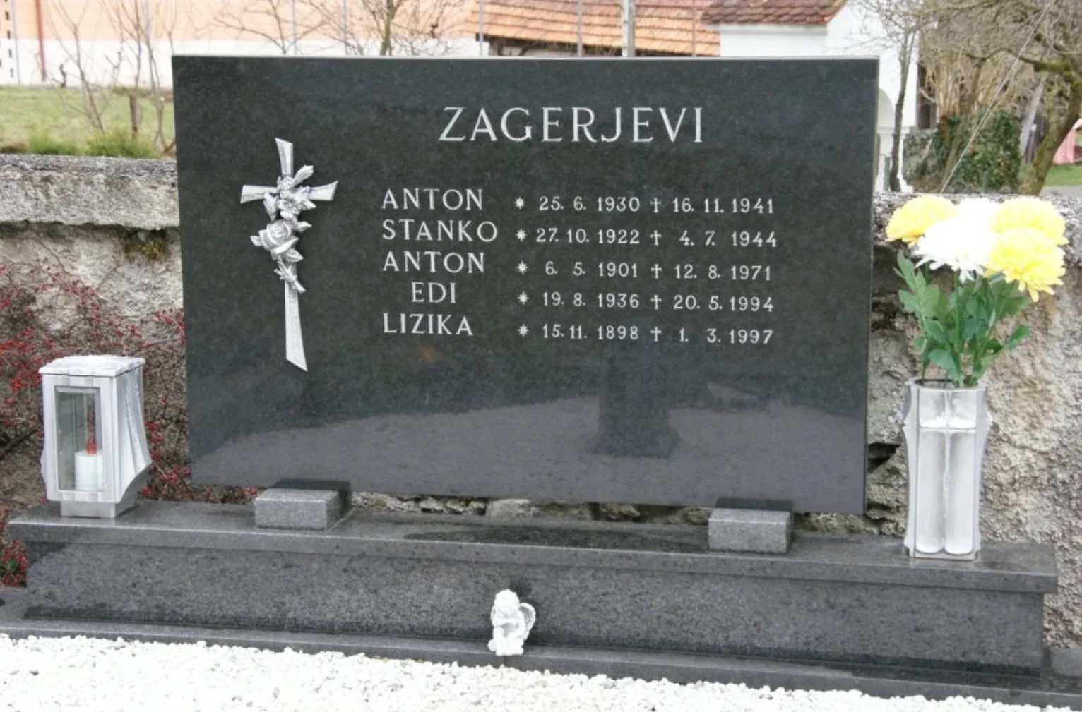
Gorenje, Zager Stanko
Geneanet.org · Slike z Geneanet, komercialna raba ni dovoljena · partizanstvo.si
Stanislaj Zager. Sistory. date of birth: 27. 10. 1922, place of birth: Lokovica, military status: NOV in POS, military unit, rank: XI. SNOB Miloša Zidanška, fighter, date of death: 4. 7. 1944, place of death: Radegunda, place of burial: Gorenje, cause of death: Armed confrontation, cause of death: ?
»LIST OF RAILWAY WORKERS - PARTISANS […] Z […] Stanko Zager, 1922, Lokovica, outspoken worker, 19. 6. 1944 in Zidanška brigade, fell on the Mozirski Mountains in July 1944.«
Marjan Žnidarič, Railwaymen and Railways in the Period of Occupation and the National Liberation War on the Slovene Styrian Territory, Slovenian Railwaymen in NOB 1941−1945, III. book, Ljubljana: Ljubljana Railway Economy, 1990, p. 556.
»In the former community of Šmartno ob Paki, fell in battle against fascism as fighters, workers, interned in Nazi camps and victims of fascist violence: […] SKORNO […] Stanko Zager, born on 27th October 1922, worker, fell on 4th July 1944 in Radegunda.«
Milan Ževart, Stane Trčak, From Uprising to Victory, National Liberation War in the Šaleška Valley and Šmartno ob Paki, Published on the 15th anniversary of liberation in memory of fallen fighters and victims of fascist violence Union of Associations of Fighters NOB of the Community of Velenje, Maribor: Obzorja Publishing House, 1966, p. 290.
Photograph: Zager Stanko Geneant, Cemetery Gorenje - Šmartno ob Paki, p. 4.
Translation · AI tier 5
Sources
- Partizanstvo.si — Partizanski spomeniki (#10652) (3ae0b8d9-2bca-46be-bcaa-4f9b56489a99) — Partizanstvo.si — Partizanski spomeniki (#10652)
Links
Location & map
Map position available (Point) · spatial accuracy: 4 — Accurate
Textual location description
Pokopališče Gorenje - Šmartno ob Paki. Lokacija zvezdice je približna. Hiša v bližini: Gorenje 3
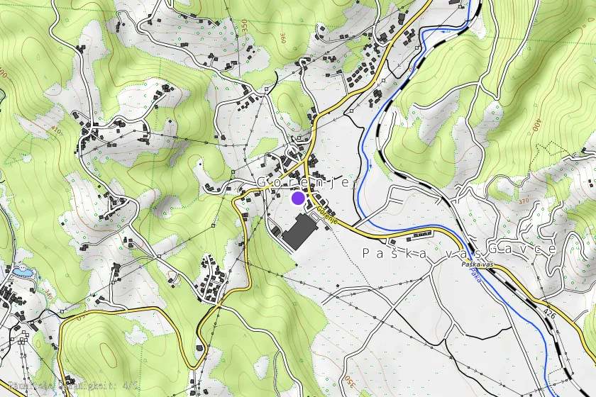
Coordinates (WGS84)46.34392° N, 15.00880° E