PoH-Code: poh.25159
Češnjice pri Moravčah
—
partizanstvo.si / Arhiv Geopedia · CC-BY 4.0 (privzeta licenca) · Preneseno iz Geopedije.
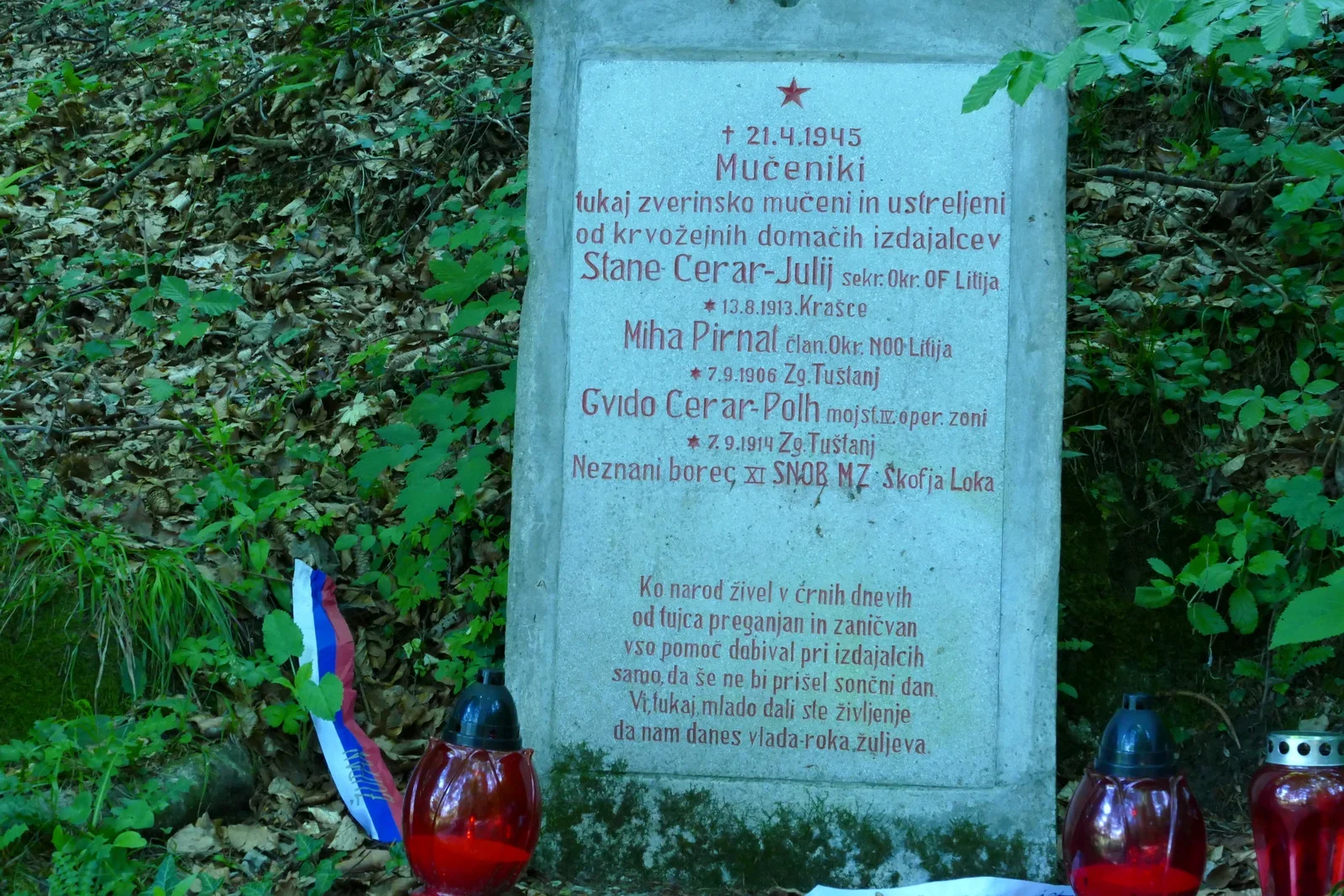
Dedicated to four activists of NOB: Stanislav Cerar, Gvido Cerar, Mihajlo Pirnat
and an unknown fighter, who were shot dead on 21. 4. 1945 at this location. The monument was
erected by ZZB NOB Moravče on 16. June 1947.
Three activists succeeded in escaping, among them Franc Avbelj Pajk, who led
the courier post station 1/7 on Murovica, which was constantly threatened by the locals and
captured several of its couriers.
EŠD 28387
Monuments of the revolutionary workers' movement and NOB in the Domžale
commune, Domžale: Cultural Community, Municipal Committee ZZB NOV, 1979, p. 78.
Guide through partisan trails, Ljubljana: Borec, 1978, p. 187.
Srečko Kosec (84, on the photograph), who was 8 years old at the time of the event, has a vivid
memory of how the bodies were buried: one was missing fingers, another had a torn abdomen, the third had a crushed head. Some of the locals joined the partisans after this event. Srečko was the last of thirteen children in the family, two of his brothers were killed by the partisans, one at the bridge on Posavje near Otoči, but his name is not on the monument there.
Note 1: Summer floods of 2023 damaged the area around the monument dangerously.
Several large trees fell down, water also heavily damaged the base of the monument
and the access path. During the month of October 2023, the monument was renovated and the surrounding area was newly arranged. Source: News from
Moravška Dolina, year 2023 - issue 9, p. 7
Translation · AI tier 5
Sources
- Partizanstvo.si — Partizanski spomeniki (#3718) (2ec56ded-f498-4a35-ac41-af254d674980) — Partizanstvo.si — Partizanski spomeniki (#3718)
Links
Location & map
Map position available (Point) · spatial accuracy: 4 — Accurate
Textual location description
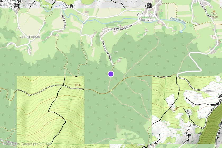
V gozdu južno od vasi, 200 m jugozahodno od hiše Češnjice pri Moravčah 27. Hiša je v bregu južno nad vasjo, do nje pelje asfaltna cesta. Na ovinku pod hišo zavije desno kolovoz, po katerem je sicer mogoče z avtom do 100 m oddaljenega spomenika levo ob njem, vendar je bolje avto pustiti na tem ovinku. Latitude: 46.119230 N 46° 07' 09'' Longitude: 14.737072 E 14° 44' 13''