
PoH-Code: poh.25149
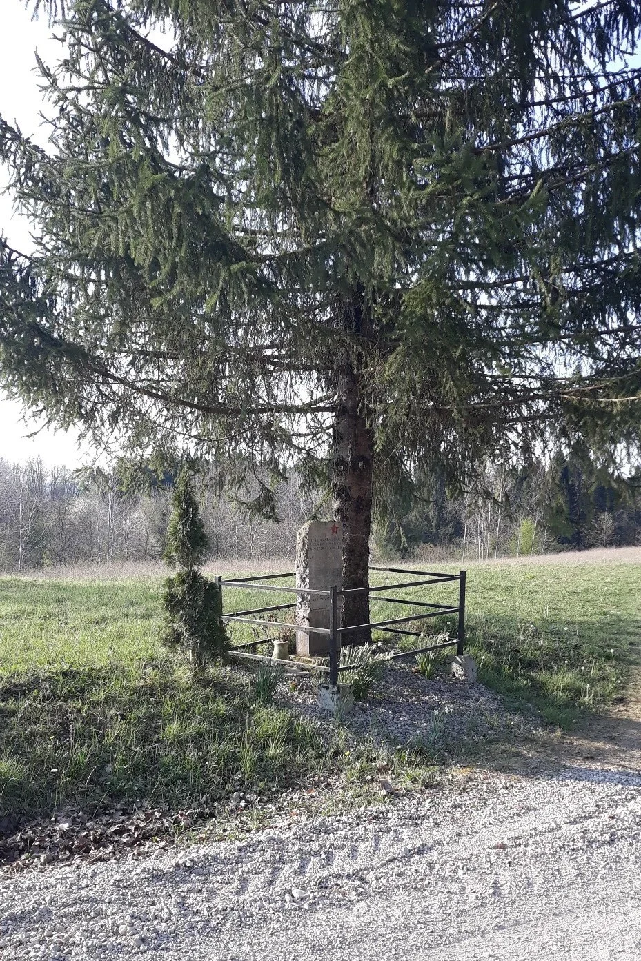
Gornja Lokvica - Memorial to the Fallen Fighters on the Road Gorenja Lokvica - Krvavičji Vrh
—
partizanstvo.si / Arhiv Geopedia · CC-BY 4.0 (privzeta licenca) · Preneseno iz Geopedije.
A memorial made from natural broken stone is dedicated to the fighters of the 13th proletarian brigade who fell at this place in 1943. The monument was erected in 1978, designed by Vinko Kepic.
EŠD 11029
Fallen fighters of the 13th proletarian brigade "Rade Končar"
On the night of 17 April 1943, the Croatian 13th proletarian brigade "Rade Končar", Priorsko-Gorjanski detachment V of the operational zone of the Croatian and Gubčeva brigade attacked the railway track between the stations Gradac and Dobravice. Fighting with Italian and Belogardist units, which were providing support from Črnomlje and Metlika, lasted until the afternoon of 17 April. The enemy set fire to three villages in the area of the battle.
On 19 April 1943, two fighters of the 13th proletarian brigade, Djoko Gledić and Ivo Matić, were on the funeral of two victims from Lower Dobravice. They were mortally wounded by aerial gunfire.
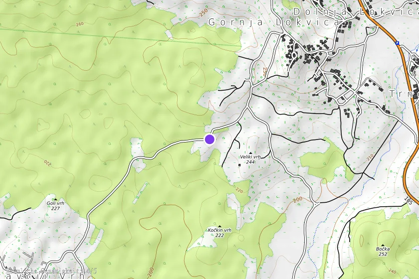
The memorial stone, shaped according to the idea of Vinko Kepic, stands approximately 500 m west of the village on the road towards Krvavčji vrh, where the fallen fighters are buried. In 1981 it was discovered by OO ZZB NOV Metlika.
Source: archive ZB NOV Metlika (28)
Translation · AI tier 5
Sources
- Partizanstvo.si — Partizanski spomeniki (#4759) (f0280921-b481-4788-8691-405483276344) — Partizanstvo.si — Partizanski spomeniki (#4759)
Links
Location & map
Map position available (Point) · spatial accuracy: 4 — Accurate
Textual location description
Ob cesti Gornja Lokvica - Krvavičji vrh, na kraju Stari kali.
Coordinates (WGS84)45.66487° N, 15.27251° E