
PoH-Code: poh.24330
HUDEJE - Memorial to the Deceased Members of the Kmet Family
—
partizanstvo.si / Arhiv Geopedia · CC-BY 4.0 (privzeta licenca) · Preneseno iz Geopedije.
EŠD: 20811
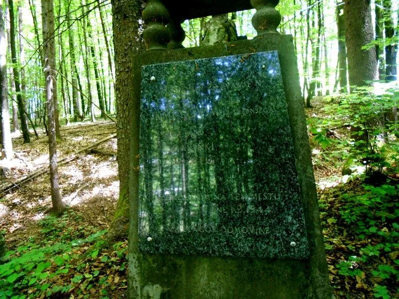
A memorial in the shape of a pyramid is dedicated to three members of the Kmet family from Starega Trga near Trebnje, who were shot dead at this location in February 1944. The memorial was erected by their relatives in 1946.
The memorial to the victims is a 2 m high pyramid, composed of two stone processed parts, connected by four processed stone pillars. Between the pillars there is a damaged stone portrait of Christ.
The lower part of the pyramid has a base of about 80 cm, it is 120 cm high, on it there is a granite plate of size 63 x 70 cm and above 50 cm with an engraved inscription.
The pillars are about 20 cm high, they carry the upper part, which is 60 cm high and on which there is a carved cross.
»KMET Jože, partisan of the city of Trebnje command. Born on March 18, 1923 in Starem trg near Trebnje.
On February 1, 1944, when he went out of the house, he fell into a home guard patrol. The home guards captured him. On that day, the home guards captured them at Hudej, tortured and shot together with him, two of his sisters, Albino and Darinko, who tried to flee to the neighboring village and to the unit NOV. Then they were also executed.«
(Silvo Grgič, Zločini okupatorjevih sodelavcev, 1. knjiga, Izven boja pobiti in na druge načine umorjeni, ranjeni in ujeti slovenski partizani, Novo mesto: Društvo piscev zgodovine NOB Slovenije, Tiskarna Novo mesto, Dolenjska založba 1995, str. 121)
Translation · AI tier 5
Sources
- Partizanstvo.si — Partizanski spomeniki (#2165) (4fb8584f-72c4-474c-b6c6-14aec26a544f) — Partizanstvo.si — Partizanski spomeniki (#2165)
Links
Location & map
Map position available (Point) · spatial accuracy: 4 — Accurate
Textual location description
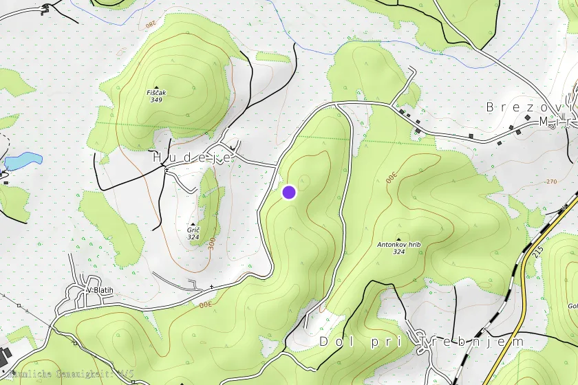
Trebnje - Račje selo - Hudeje V zaselku Hudeje, pri hiši štev.4 se napotimo po gozdni poti navkreber v jugovzhodni smeri, proti vrhu hriba Breznik in po slabih 150 m pridemo do spominskega obeležja.
Coordinates (WGS84)45.93292° N, 15.02436° E