PoH-Code: poh.22384
DOLENJSKE TOPLVICE - MEMORIAL 1. BRIGADE VDV
—
partizanstvo.si / Arhiv Geopedia · CC-BY 4.0 (privzeta licenca) · Preneseno iz Geopedije.
MEMORIAL TO LOCAL HONOUR
Within the context of the year 1944, the 1st Brigade of the State Security Service (VDV) was also established. It was founded on March 15, 1944, in Dolenjske Toplice. As the security and intelligence service (VOS) had been withdrawn at the beginning of 1944, the National Security Council (SNOS) issued an order on March 1st to establish the State Security Service whose main task was to fight against the fifth column while cooperating with other NOV units in the battle against the enemy.
The commander of the 1st Brigade VDV became Jože Mirtič – Zidar, political commissar Anton Kranjc – Mirko, and his assistant Janez Japelj. The brigade had five battalions distributed from Trieste to Black Hill, operating entirely independently. The first battalion was stationed near Nova Mesto, the second battalion in Black Hill, the third north of Nova Mesto, the fourth on Inner Slovenia, and the fifth on Primorska.
For the first time, all battalions were concentrated in the Črmošnjiško - Poljanska Valley and Dolenjske Toplice area during the second half of December 1944. In mid-December, the brigade was renamed as the 1st Brigade of the 2nd Home Guard Division.
The memorial was erected by patrol units of the VDV Brigade and the Municipal Assembly of Nova Mesto on June 30, 1956, which in October 1969 also assigned a residence in Dolenjske Toplice to the brigade.
EŠD 22347
Translation · AI tier 5
Sources
- Partizanstvo.si — Partizanski spomeniki (#3739) (9696445b-a296-4489-82e1-c45218a98ba1) — Partizanstvo.si — Partizanski spomeniki (#3739)
Links
Location & map
Map position available (Point) · spatial accuracy: 4 — Accurate
Textual location description
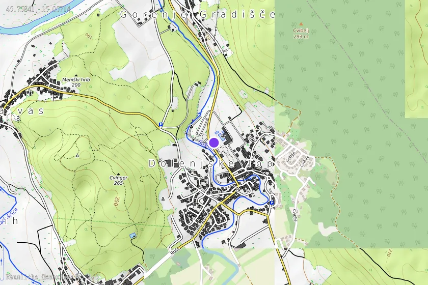
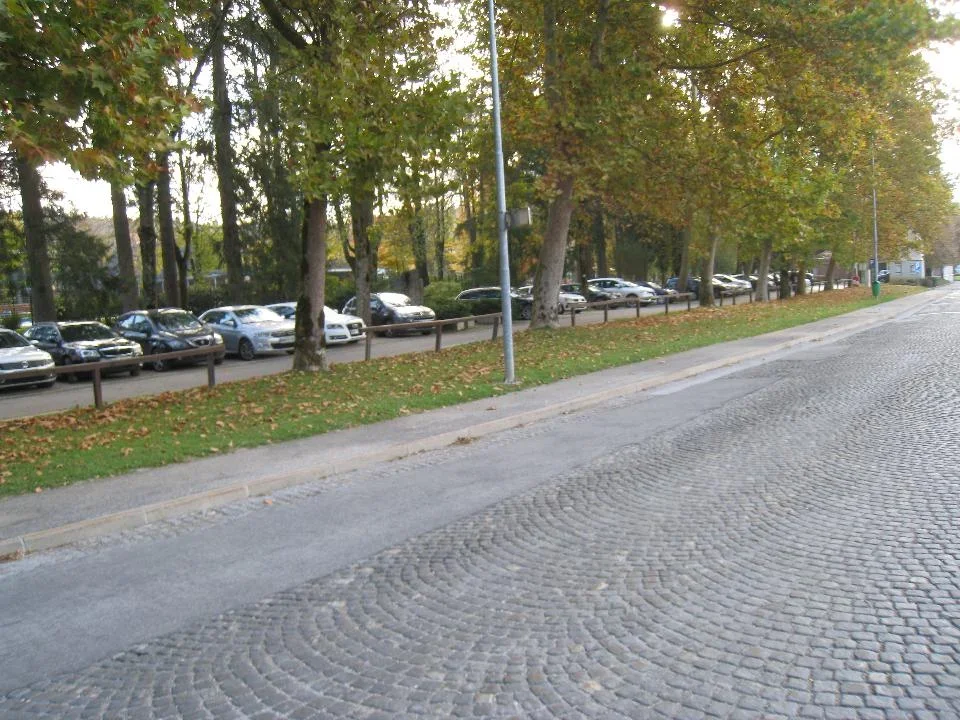
Ob severnem vstopu v Dolenjske Toplice iz smeri Novega mesta stoji ob parkirišču v Zdraviliškem parku večja neobdelana skala z napisom. KOORDINATE: N 45º 45' 30,36"; E 015º 03' 26,30"