
PoH-Code: poh.21826
Goriča vas, Ribnica - Memorial to the Shot Farmers
—
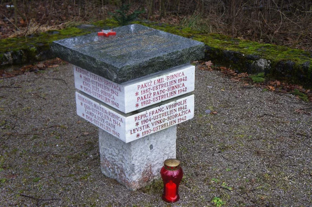
partizanstvo.si / Arhiv Geopedia · CC-BY 4.0 (privzeta licenca) · Preneseno iz Geopedije.
In July 1942 the Italians began the so-called Roško offensive throughout Dolenska Notranska and Primorska. On this destructive path they killed, plundered and burned. They shot many regardless of sex or age. Thus, on July 17, 1942 in Ribnica at this place they shot Franca Arka from Bukovice 21, Jožeta Čampa from Dan 17 Martin Gornik from Bukovice and Ludvik Klun from Bukovice 6. Later they also shot Štefan Kersnič from Ribnica, Hrovača 53, Jožeta Knol from Ribnica 216 Vinko Levstik from Sodražica, Emil Pakiž and Radet Pakiž from Ribnica 79 and the painter Franca Repič. In 1943 they were shot here also Anton Jaklič from Small Slevice and in 1944 Anton Jorac and Matej Šinkovec from Ribnica.
The plan for the memorial was made by the builder Janko Hren, and it was erected by the company Gradbenik from Ribnica.
The memorial site is represented in the plan as a low stone wall enclosing a pentagonal area with sides of 3.6 meters, which is open in the direction of access from the road, where there is also a staircase. In the middle of this area there is a 75 cm high memorial, which consists below of a narrower square column with sides of 30 cm which in the upper part at a height of 35 cm is composed of two marble plates of thickness 14 cm in square shape with sides of 45 cm and with carved data of those shot at this place and on top a granite plate of dimensions 55 x 55 cm with a red star and text of the poem of Petr Levča in medenin letters.
EŠD 22484
Translation · AI tier 5
Sources
- Partizanstvo.si — Partizanski spomeniki (#2704) (07bed7a3-517b-40a3-89ba-76870e5654d2) — Partizanstvo.si — Partizanski spomeniki (#2704)
Links
Location & map
Map position available (Point) · spatial accuracy: 4 — Accurate
Textual location description
Iz centra Ribnice preko mostu čez potok Bistrico, v prvem križišču po Cesti na Ugar (cesta med gradom in Rokodelskim centrom) proti Veliki gori, mimo športnega stadiona, v križišču za obrtno cono (bivša vojašnica) levo najprej po asfaltu in nato po makadamu Ulice talcev cca 800 metrov.
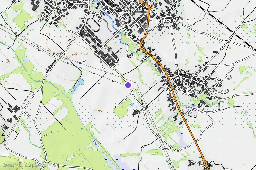
Coordinates (WGS84)45.73032° N, 14.73087° E