
PoH-Code: poh.21439
Graška Gora - Memorial to the Soldiers of the 14th Division at Anžejevih Tratah
—
partizanstvo.si / Arhiv Geopedia · CC-BY 4.0 (privzeta licenca) · Preneseno iz Geopedije.
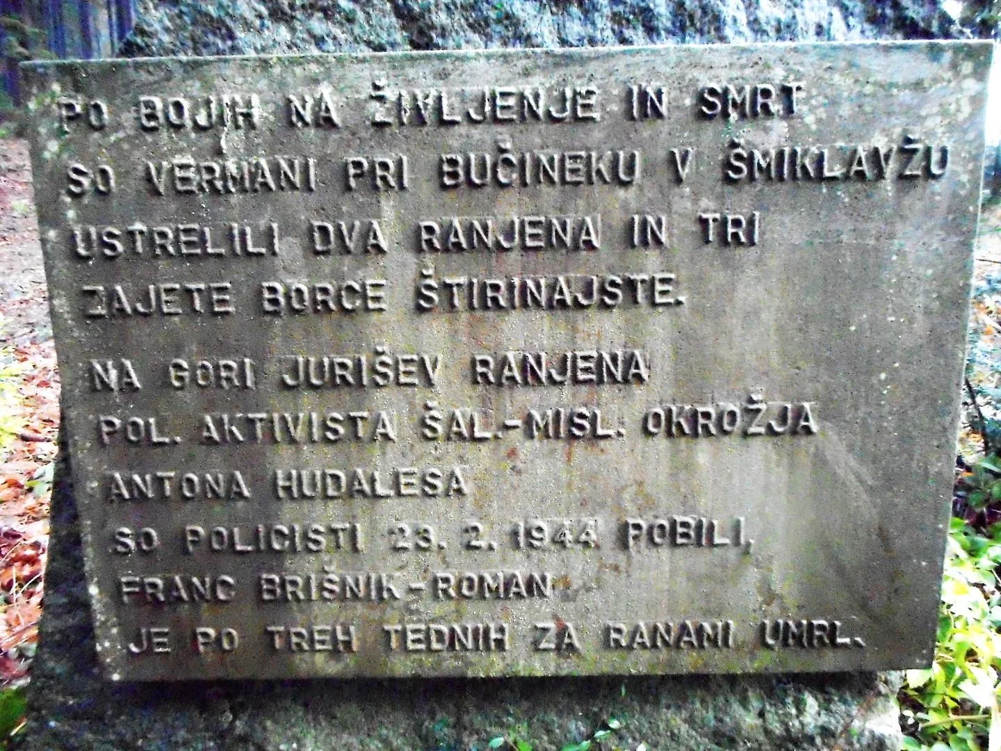
Three natural stone slabs with bronze plates and a star are dedicated to the fighters of the 14th Division, which came to Graška Gora — the Hill of Attacks — on 21 February 1944. In the fighting, the sculptor Janez Weiss-Belač and Lado Mavsar-Ranko also fell. On the plates, at the dedication, are the names:
The People's Liberation Struggle of the Slovenian people was a noble, patriotic, and freedom-loving act. Full of suffering, courage, and sacrifice. The area of Završ, Graška Gora, and Razborje was very important during the People's Liberation Struggle. Here, partisan units often took refuge, here numerous battles were fought. Near Anžija's Bajta on Graška Gora, where the monument stands, fierce fighting took place on 21 and 22 February 1944. The enemy attacked the main force of the 14th Division. Among those who fell in the battle were also the sculptor Janez Weiss-Belač and the appointed commander of Šercerje's Brigade, Lado Mavsar-Ronko.
The monument was erected in 1988.
Source: Archives of the Association of Fighters for the Values of the People's Liberation Struggle, Slovenj Gradec.
EŠD 8063
herojsmrt123
Translation · AI tier 7
Sources
- Partizanstvo.si — Partizanski spomeniki (#1943) (b3c4ec91-0214-4f4f-84de-deedc846458a) — Partizanstvo.si — Partizanski spomeniki (#1943)
Links
Location & map
Map position available (Point) · spatial accuracy: 4 — Accurate
Textual location description
Iz naselja Podgorje pri kapelici v smeri Uršlja gora, Razbor in nadalje za smer Šoštanj, Velenje. Po 5 km na križišče zavijemo v levo v smer Velunje in po 1 km po makadamski cesti ponovno zavijete v levo in po klancu prispete do kmetije Vrhornik. Od domačije naprej vodi lepa pot pot skozi gozd in cca 10 minutah prispete do spomenika na Anžejevih tratah. GPS S 46.4387, V 15.0776
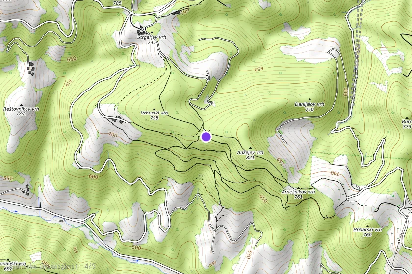
Coordinates (WGS84)46.43866° N, 15.07763° E