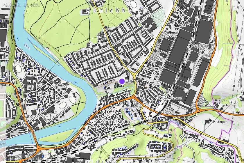
PoH-Code: poh.2139
"600 Mann Lager" - Steyr
—
Posizione e mappa
Posizione sulla mappa disponibile (Punto) · spatial accuracy: 4 — Accurato
Descrizione testuale della posizione
Bundesland: Oberösterreich Gemeinde: Steyr KG-Nr. (Fundplatz): 49210 Lage: Bereich zwischen Leo-Gabler-Straße (N) Karl-Punzer-Straße bzw. Haager Straße (O), Raming [Fluss] (S) und Enns [Fluss] (W), Areal zum Teil rezent überbaut Kleinhaussiedlung, Kindergarten/Volksschule, teils Grünflächen,