
PoH-Code: poh.21246
Graveyard at Goreljkа
—
partizanstvo.si / Arhiv Geopedia · CC-BY 4.0 (privzeta licenca) · Preneseno iz Geopedije.
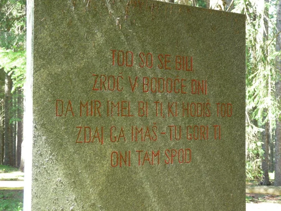
With a stone wall and four granite blocks, the memorial marks the burial site of the fallen on 15 December 1943. Arch. E. Ravnikar (1953–1956). The inscription was written by Matej Bor. The installation was organized by the Local Committee of the Liberation Front of the Slovene People, Radovljica.
EŠD 10139
Along the path of memory: Radovljica anthology, Radovljica: Municipal Conference of the Slovene People's Cultural Association, 1990, pp. 103–105.
Guide to partisan trails, Ljubljana: Borec, 1978, p. 238.
The area of the burial site was arranged between 1953 and 1956 with three built pentagonal fields and a rectangular burial site walled with a wall, where 79 fighters of the 3rd Battalion of the Prešeren Brigade and 7 fighters of the Gradnik Brigade, fallen on 15 December 1943, are buried. Three granite obelisks were re-erected in 1989. (Source: RKD)
Image 3/2: The author of the book describing the battle on Goreljk, pointing out the inscription on the memorial "and 7 fighters of the Gradnik Brigade", which was apparently added later than the first part. Source: Mile Pavlin, In fire and snow, Second, expanded edition, Ljubljana: Borec Publishing House, 1981, p. 209.
Translation · AI tier 7
Sources
- Partizanstvo.si — Partizanski spomeniki (#2005) (bf3deb0d-d889-421f-bea7-fd84817b7160) — Partizanstvo.si — Partizanski spomeniki (#2005)
Links
Location & map
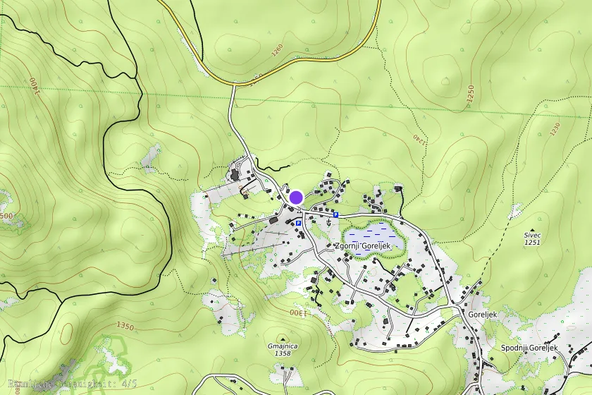
Map position available (Point) · spatial accuracy: 4 — Accurate
Textual location description
V turističnem naselju na Goreljku je na križišču za h. št. 100 smerokaz levo (odcep proti vzhodu), po 30 m kreneš levo v breg do vrha griča, kjer so ograjeni ostanki porušene stavbe in dva spomenika: troje stebrov z napisom na najbolj zahodnem in 20 m stran še napis na samostojnem stebru. Spomenik tu pokopanim je 100 m nižje proti jugu.
Coordinates (WGS84)46.33685° N, 13.96466° E