
PoH-Code: poh.18860
Information Table Štravberk
—
partizanstvo.si / Arhiv Geopedia · CC-BY 4.0 (privzeta licenca) · Preneseno iz Geopedije.
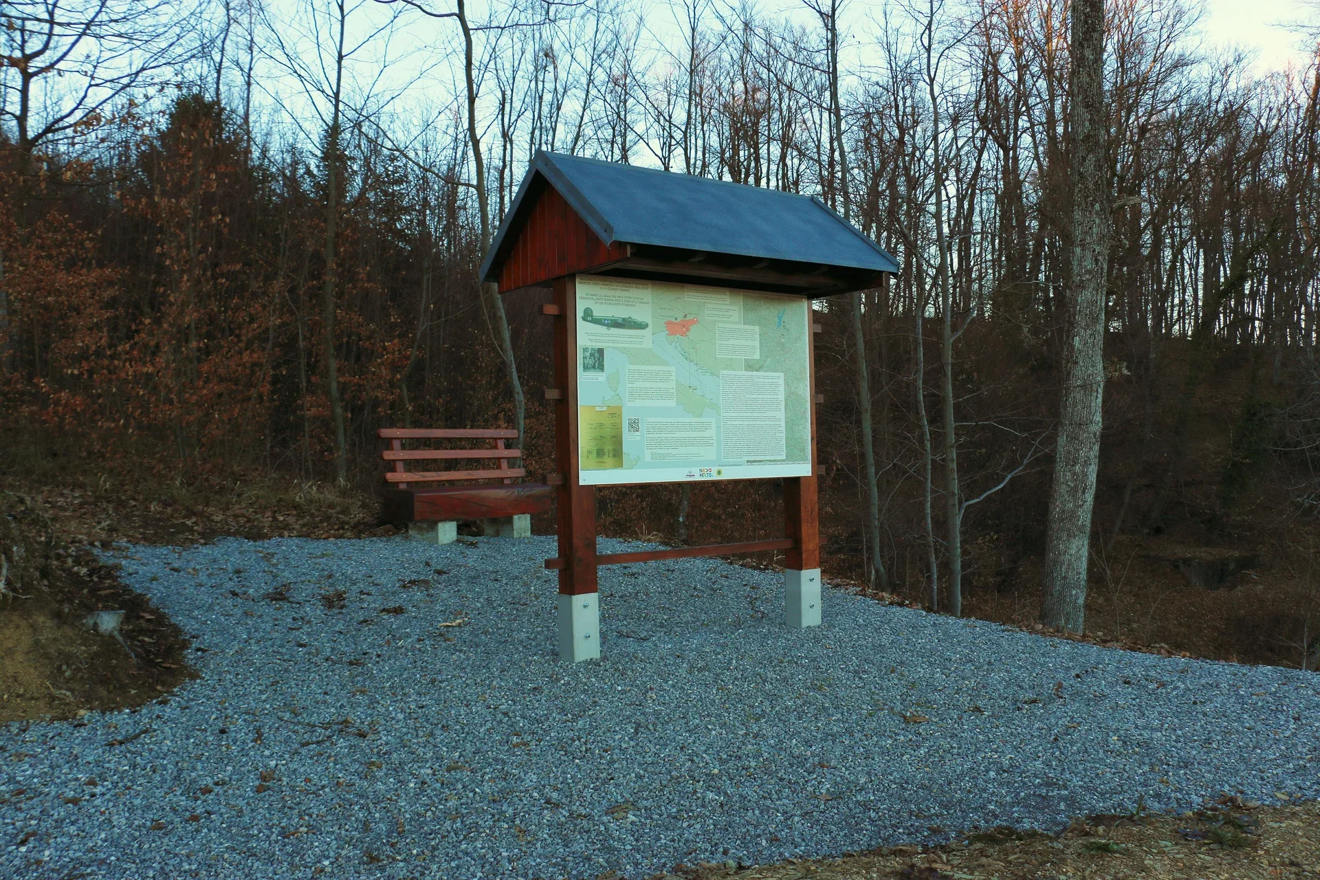
Informational plaque is placed at the crossroads above the village of Štravberk, as a detailed description of the crash of the aircraft on 19 March 1944. At that time, an American heavy bomber B-24 H Consolidated Liberator named "Moo Juice" with a ten-man crew crashed in the forest above Štravberk.
On the plaque, composed of two panels, which bilingually describe the last year of the aircraft, the crash and the fate of the crew. Under the heading, a diagram of the aircraft is shown, a photograph of the rescued crew members is added, as well as a report on the missing crew MACR.
Additionally, the address to the website with a video testimony of Franček Blažič from Štravberk is provided in the form of a QR code: https://www.youtube.com/watch?v=v2jYxe_EZLM
Translation · AI tier 7
Sources
- Partizanstvo.si — Partizanski spomeniki (#7253) (f773b0a8-59e4-4974-b51e-7924231788f8) — Partizanstvo.si — Partizanski spomeniki (#7253)
Links
Location & map
Map position available (Point) · spatial accuracy: 4 — Accurate
Textual location description
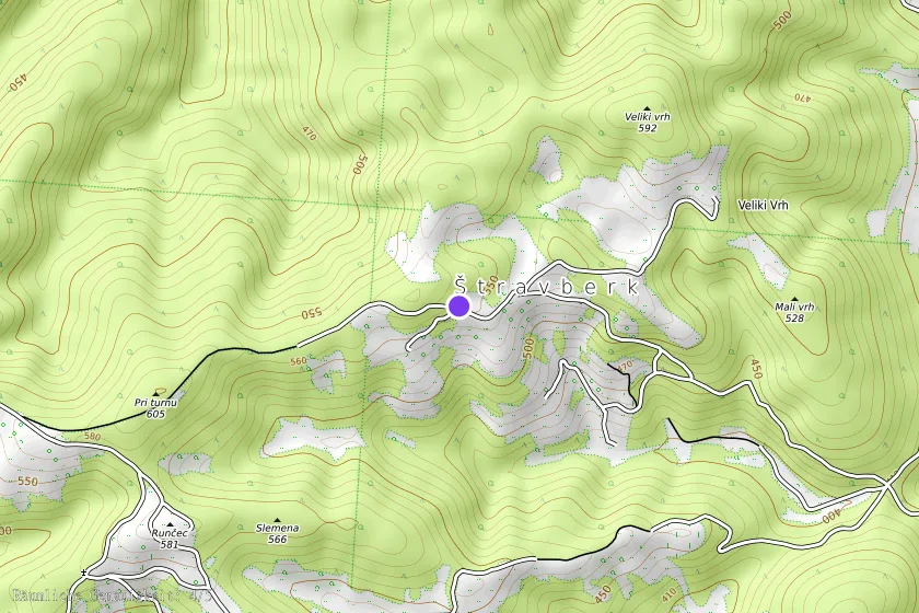
Informacijska tabla je obešena na kozolcu zahondno nad vasjo Štravberk. Koordinate: 45°52'14.10"N 15°11'30.44"E
Coordinates (WGS84)45.87063° N, 15.19184° E