
PoH-Code: poh.18610
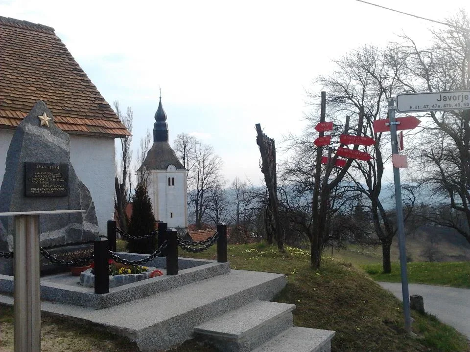
Cemetery of the 1st Styrian Battalion 1941 and Bračičev Brigade 1944, Sv. Helena in Javorju
—
partizanstvo.si / Arhiv Geopedia · CC-BY 4.0 (privzeta licenca) · Preneseno iz Geopedije.
Cemetery of seven fallen fighters of the 1st Styrian Battalion 1941 and Bračič's Brigade 1944. The cemetery was newly arranged on 4 July 1976.
Among the fallen is the national hero Angel Besednjak - Don (☆15. 10. 1914 in Branik near Nova Gorica, † 1. 11. 1941 in battle with the Germans during the I. Styrian Battalion march, so-called "Brežiški march").
Vasica St. Helena with a chapel on the hill above the Slivniška valley. During the summer months and throughout the snow, women with baskets climbed towards the battalion, followed by men in civilian clothes - re-dressed Gestapo agents. A fierce battle ensued. The first to fall was Angel Besednjak - Don, followed by Peter Šprajc - Jur, then Lojze Juvan - Jovo from Trbovelj and Vinko Čebin - Stevo from Kisovac. The fallen partisans were taken by the Germans to Slivnica, where they were thrown into Graselijev barn.
According to Sistory Rudolf DEBELJAK, born 12. 4. 1908 in Travnik, Loški Potok, residence Trnovec near Dramlje, fell 23. 12. 1944 - Bor1974, 25. 4. 2023
Trbovlje in NOB, page 303
Styrian 1941, page 469
Guide through partisan trails, page 585
Photo source 4/3: Editorial, Po jutru se dan pozna, Utrip, Newspaper Socialist Union of Workers' Councils Municipal Council Šentjur near Celje, Year VIII, no. 82, 6. 1985, front page. Electronic source: Utrip, Year VIII, no. 82, 6. 1985, front page Access: 25. 5. 2024.
Password: herojgrob1234
Translation · AI tier 5
Sources
- Partizanstvo.si — Partizanski spomeniki (#2868) (10e1edff-b522-4897-87af-145afa570ae0) — Partizanstvo.si — Partizanski spomeniki (#2868)
Links
Location & map
Map position available (Point) · spatial accuracy: 4 — Accurate
Textual location description
Javorje, občina Šentjur pri Celju, blizu cerkve Sv. Helene, Javorje 48 a
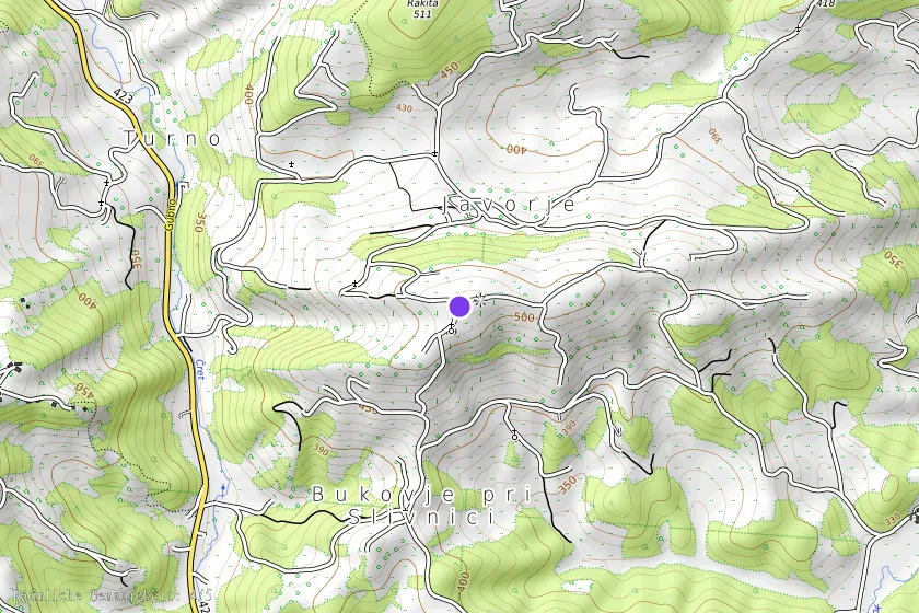
Coordinates (WGS84)46.17273° N, 15.45017° E