PoH-Code: poh.17255
Bunker 44, Kočevski Rog
—
partizanstvo.si / Arhiv Geopedia · CC-BY 4.0 (privzeta licenca) · Preneseno iz Geopedije.
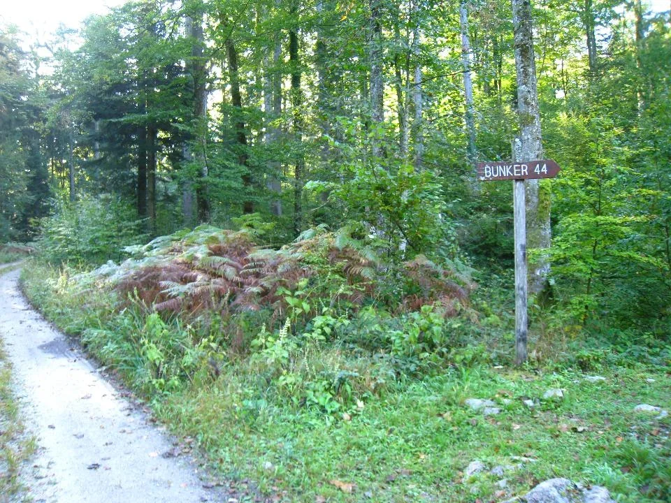
The bunker lies southwest of Base 20 in a heavily wooded area. Since October 6, 1999, it has been declared a national memorial.
Bunker 44 is the only preserved bunker at Base 20. It was constructed so that the rotating platform was covered with pine bark, over which pine planks were laid, and these were then covered with soil, leaves, and individual larger stones or rocks, so that everything appeared completely natural. Up to now, the bunker has been maintained by the Dolnjski Museum in Novo Mesto. The bunker had a hidden entrance. It was intended for the political leadership of the Slovenian national liberation struggle. While searching and reviewing sources, I did not find anywhere where the bunker's inhabitants performed their physiological needs. This is also not described in other objects, such as for example hospitals. The hospital Jelendol does have a shelter with side rooms, but probably the shelter originated from the time after the war, when German prisoners of war were staying there, since the system is the same as that used by the German army.
If in the case of danger and immediate threat the leadership were to take refuge in the bunker, the guard from the protective unit would erase all traces behind them. He himself would go in the direction of the White Land and leave a visible trail, thus leading the enemy away from the leadership, hidden in the bunker.
EŠD 8729 (NATIONAL MEMORIAL)
Translation · AI tier 5
Sources
- Partizanstvo.si — Partizanski spomeniki (#4664) (a0e91398-591f-4453-ba0a-3088c66a50d5) — Partizanstvo.si — Partizanski spomeniki (#4664)
Links
Location & map
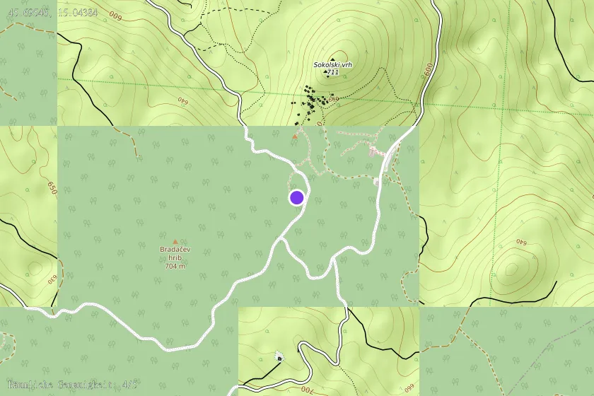
Map position available (Point) · spatial accuracy: 4 — Accurate
Textual location description
DOSTOP: Od parkirišča pod BAZO 20 južno po Červanovi cesti. Pri prvem odcepu zavijemo desno proti zahodu do južnega vstopa za BAZO 20. Nadaljujemo levo peš po ozki stezi med skalami kakih 100 m. KOORDINATE: N 45º 41' 43,60", E 15º 02' 35,90"