PoH-Code: poh.17076
Blaž Ažman, Kropa
—
partizanstvo.si / Arhiv Geopedia · CC-BY 4.0 (privzeta licenca) · Preneseno iz Geopedije.
Blaž Ažman was born on 23. 2. 1922 in Kropi. His father was a carpenter, invalid from the First World War. After primary school, he studied as a machine locksmith at the already existing factory of the železoobrtne zadruge in Kropi. In 1941, he completed the industrial metalworking school and passed the exam for assistant. He had connections with the first partisans on Vodiški planina on Jelovici, and he distributed propaganda material. With his brother Jože, he left on 10. 8. 1942 to the Selško četo of the Gorenjski odred on Vodiški planina on Jelovici, right in the time of German attacks against the partisans. During the breaking of the unit on 11. 8. 1942, Blaž fell near the Mošenjska planina. His brother Jože brought him from there to Špik in Kroparski gori and buried him. The grave was maintained by the family (Po poti spominov).
"During the descent, a German mountain hunter shot him with a rapid-fire rifle from the rock shelter on Dražgoški gori. The dead body was brought under the rock Špik in Kroparski gori and buried." Partisans who returned home were arrested by the Germans. (Gorenjski partizan)
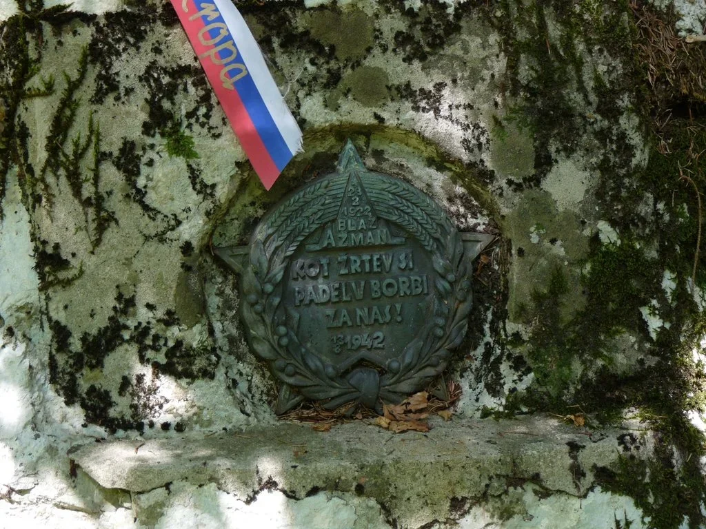
A small metal plate-medal, with an inscription surrounded by a crest, attached to the rock.
The grave of Blaž Ažman, fighter of the Selško četo of the Gorenjski odred, who fell on 11. 8. 1942 near the Mošenjska planina. The grave is marked with a bronze crest, and in 1948, the KO ZB NOV Kropa raised a monument in the living rock above it. The plate was cast in the foundry of Železarne Jesenice.
Po poti spominov: radovljiški zbornik, Radovljica: Občinska konferenca SDZL, 1990, str. 125.
EŠD 22969
Gorenjski partizan, str. 145.
Translation · AI tier 5
Sources
- Partizanstvo.si — Partizanski spomeniki (#18) (b3422902-842e-477a-825c-b141d0f41e28) — Partizanstvo.si — Partizanski spomeniki (#18)
Links
Location & map
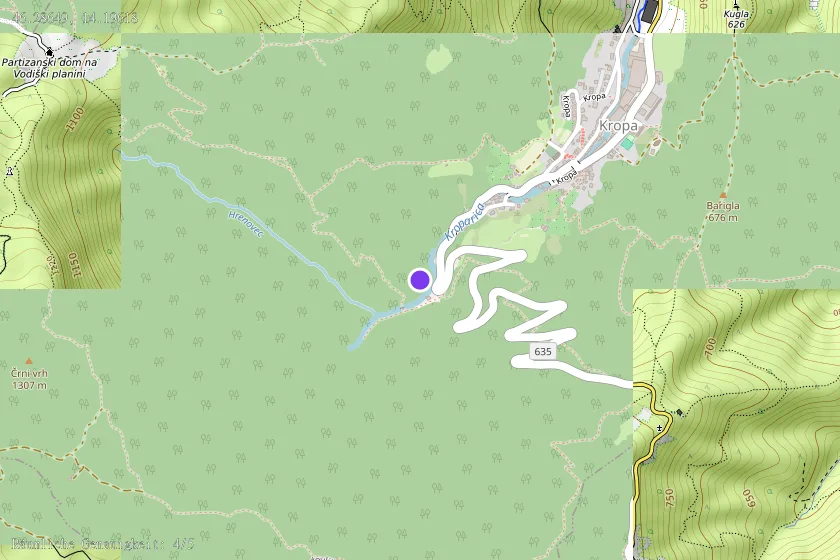
Map position available (Point) · spatial accuracy: 4 — Accurate
Textual location description
Na ovinku ceste iz Krope proti Jamniku, kjer stoji Slovenska peč, prestopimo zaklenjeno ograjo na mostičku čez Kroparico in na drugi strani reke po potki krenemo desno 50 metrov do zapuščene počitniške hišice. 20 metrov nad njo je na desnem robu strme krčevine (laza) skala, v katero je vzidana majhna plošča. Vzdrževano. Dostop lahko tudi po vodoravni potki malo višje z markirane poti na Vodice. Ledinsko ime lokacije: pod Špikom.