
PoH-Code: poh.16726
Cemetery at Pogorelec, Kočevski Rog
—
partizanstvo.si / Arhiv Geopedia · CC-BY 4.0 (privzeta licenca) · Preneseno iz Geopedije.
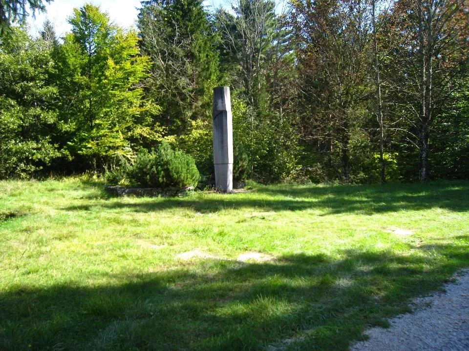
At the edge of the former village of Pogorelec lies a memorial site of national importance.
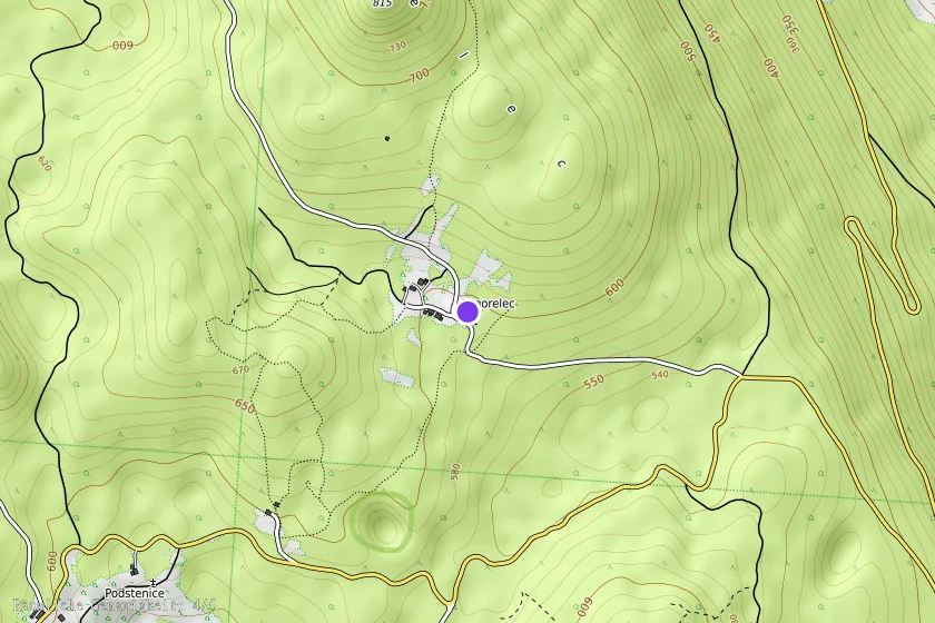
It is located at the intersection of roads approximately 50 meters before the village. It is situated on a small plateau above a karst sinkhole. Around the memorial site, near the monument, lie the remains of partisans who died in the partisan hospitals of Lower and Upper Lašče and in Ajdovce. (The Lower Lašče hospital was located 10 minutes from Podstenice towards Pogorelec, Upper Lašče about 20 minutes east of Kunč, and Ajdovce southeast of Saint Peter towards Pečka, not far from Upper Tople Rebri). The bones of the fallen fighters were moved after the war from distant and inaccessible graves to the memorial site.
The author of the memorial site and monument is architect Miloš Lapajne. It was organized by the Main Committee of the Fighters' Association and the Municipal Committee of the Fighters' Association in Novo mesto. It was restored by the Society for the Maintenance of Partisan Cemeteries in Rog in October 2005. The memorial site is maintained by the Society for the Maintenance of Partisan Cemeteries in Rog.
EŠD 4224
Translation · AI tier 7
Sources
- Partizanstvo.si — Partizanski spomeniki (#3741) (dd14d42a-435a-4135-9a4f-f25c4b51d048) — Partizanstvo.si — Partizanski spomeniki (#3741)
Links
Location & map
Map position available (Point) · spatial accuracy: 4 — Accurate
Textual location description
Na cesti Podturn - Kočevje se pred Podstenicami odcepi cesta v desno. Po dobrem kilometru pridemo do nekdanje kočevarske vasi Pogorelec. Spomenik je kakih 50 metrov pred vasjo, ki obsega eno domačijo in Polharski dom. KOORDINATE: S 45º 42' 4,58"; V 015º 00' 3,60" . OPOMBA: Prenesel iz lokacije na Geopediji: 45°44'4.32" N 14°58'24.88" E na lokacijo, ki jo prikazuje Register kulturne dediščine. Lokacija, ki je zapisana v prvotnem zapisu ne ustreza ne prvotni in ne RKD lokaciji. Na terenu si obeležja nisem ogledal! Kermavnar 19.5.2020. PROSIM PREVERITE!
Coordinates (WGS84)45.72292° N, 15.02840° E