
PoH-Code: poh.16328
Idrijske Krnice, Plaque at Erjavc
—
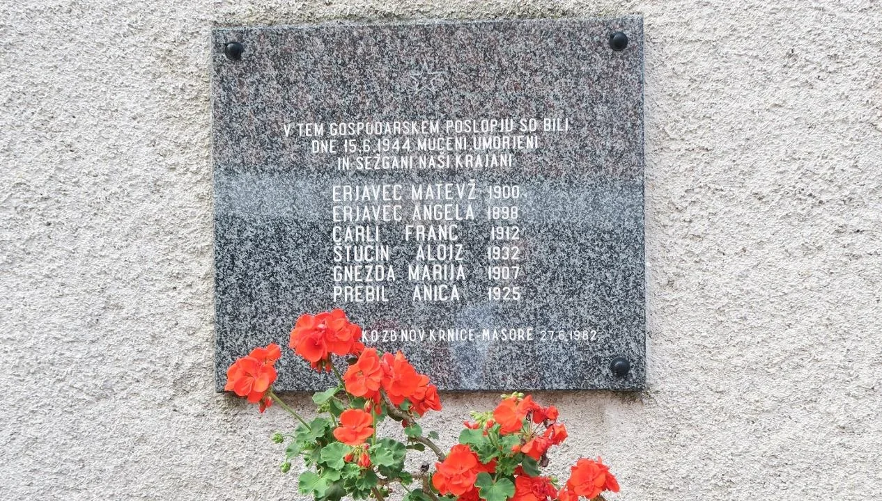
partizanstvo.si / Arhiv Geopedia · CC-BY 4.0 (privzeta licenca) · Preneseno iz Geopedije.
On the gray granite slab, the names of victims of wartime violence from the village are engraved.
S. Petelin writes in the book Vojkova brigada: «…someone had indeed betrayed to the Germans where one of the hospital posts of »Pavla« was located. From Idrija, two German columns set out toward that post. Partisan guard Pavle Tušar noticed one of the columns and ran toward the post to warn about the danger. The Germans from the other column spotted him and shot him. The guard fell, but the shots alerted the partisans in the hospital to the danger. In the last moment, they managed to retreat with all the wounded. One of the nurses was indeed wounded and even captured by the German soldiers, but she escaped. However, in the hospital, they received two boys (they had treated wounds they had received when they were playing with a hand grenade, which exploded) and Anica Prebil, who had been shot in Erjavčev's house. This was not the only victim, for the Germans accused Erjavčev of supplying the hospital with meat. Enraged because the wounded had escaped with the staff, they locked up Matevž Erjavčev with his wife, the shepherd, a woman who had helped them with weaving, and another local whom they had brought with them, killed them, and set the barn on fire. Only the old father managed to escape».
Date of the event: 15.6.1944
Date of discovery: 27.6.1987
Photo: Miloš Kermavnar
EŠD 19476
Translation · AI tier 7
Sources
- Partizanstvo.si — Partizanski spomeniki (#4543) (37de2295-b73b-4054-bcb6-2eb0f1e77026) — Partizanstvo.si — Partizanski spomeniki (#4543)
Links
Location & map
Map position available (Point) · spatial accuracy: 4 — Accurate
Textual location description
Spominska plošča je vzidana na gospodarskem poslopju domačije Erjavc, Idrijske Krnice 29.
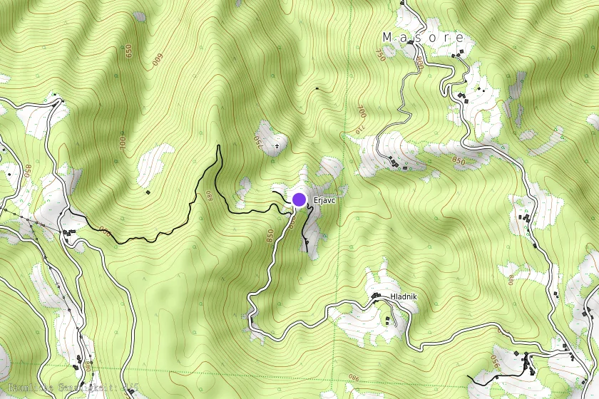
Coordinates (WGS84)46.05988° N, 13.96219° E