
PoH-Code: poh.15696
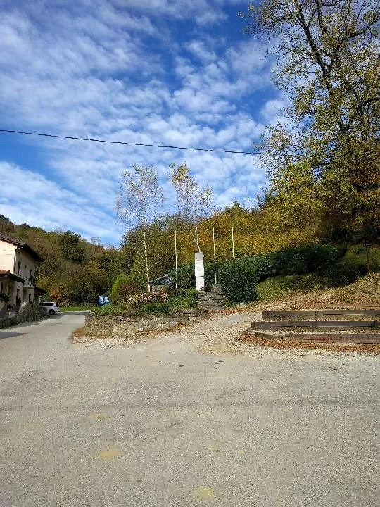
Hlevnik - Memorial of the Partisan Resistance
—
partizanstvo.si / Arhiv Geopedia · CC-BY 4.0 (privzeta licenca) · Preneseno iz Geopedije.
22 May 1944, German soldiers set out for the Brda with the aim of conducting an offensive in the area between the Soča and Nadiža and settling accounts with Slovenian and Italian partisans. At the same time, the BBO was located in the Brda together with a battalion of the Army of State Security and two Garibaldi battalions. With the aim of encircling the partisans and destroying their units, German soldiers attacked the Brda in columns. In the action, there were many casualties among the German army and the fascists who had helped the Germans, at the same time, numerous partisans and Garibaldins were also among the victims. In order to avenge the fallen soldiers, the Germans began searching for civilians in houses and fields, gathering them in village squares and torturing and killing them. The greatest atrocity of the action occurred when the Germans locked 22 people in houses in Peternel and Imenčevi, among them were also women and children, and then set the house and its inhabitants on fire alive.
The memorial at Peternel is dedicated to the 22 locals who became victims of Nazi violence, whose aim was the extermination of the Slovenian people and the cleansing of the area.
It was designed by architect Boris Markič. It was erected on 21 May 1972.
http://www.svobodnabeseda.si/dr-ljubica-jelusic-peternel-v-goriskih-brdih/
Translation · AI tier 7
Sources
- Partizanstvo.si — Partizanski spomeniki (#835) (8b542de9-c20d-4174-a512-883bc033f6d1) — Partizanstvo.si — Partizanski spomeniki (#835)
Links
Location & map
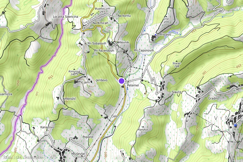
Map position available (Point) · spatial accuracy: 4 — Accurate
Textual location description
Spomenik stoji ob križišču poti za Hlevnik, Pristavo in Nozno, v bližini domačije Hlevnik 1.
Coordinates (WGS84)46.02307° N, 13.51341° E