PoH-Code: poh.14713
Dolenjske Toplice - Hiša Ulica Maks Hengiman 31
—
partizanstvo.si / Arhiv Geopedia · CC-BY 4.0 (privzeta licenca) · Preneseno iz Geopedije.
MEMORIAL OF LOCAL SIGNIFICANCE
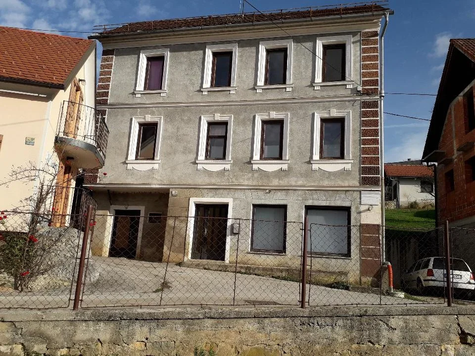
A two-story house with a four-sided street façade stands on the eastern part
of the historical part of the settlement.
This is the birthplace of the original inhabitant Max Henigman on Max Henigman Street 31.
Max Henigman was an organizer of the KP and NOB in Dolenjske Toplice and the surrounding area.
On 11 November 1941 he participated in the attack on Bučko, with which the Germans
intended to prevent the expulsion of the local inhabitants. After the battle they retreated to
the Moravsko mountain above Gabrovka. There they were pursued and surrounded by the occupiers. In the battle
on 14 November 1941 Max fell, when he tried to lead his comrades away from the encirclement. After the war he
was transferred to the local cemetery in Dolenjske Toplice.
The memorial plaque was erected on 22 July 1952 by KO ZB NOV Dolenjske Toplice.
EŠD 23136
Translation · AI tier 5
Sources
- Partizanstvo.si — Partizanski spomeniki (#3734) (e60dda86-d702-4c29-ba14-0d746f1144e2) — Partizanstvo.si — Partizanski spomeniki (#3734)
Links
Location & map
Map position available (Point) · spatial accuracy: 4 — Accurate
Textual location description
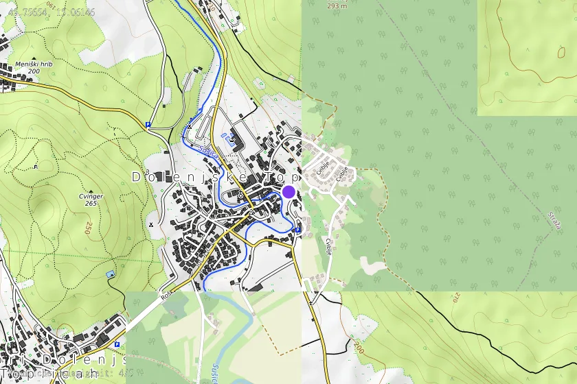
S ceste Dolenjske Toplice – Podturn se cesta odcepi levo v smeri Uršnih sel. Na koncu mostu zavijemo levo in po 200 metrih zopet levo po Ulica Maksa Henigmana do gasilskega doma na vzhodnem delu historičnega dela naselja, h. št. 31. KOORDINATE: N 45º 45' 23,24"; E 015º 03' 41,99"