PoH-Code: poh.13777
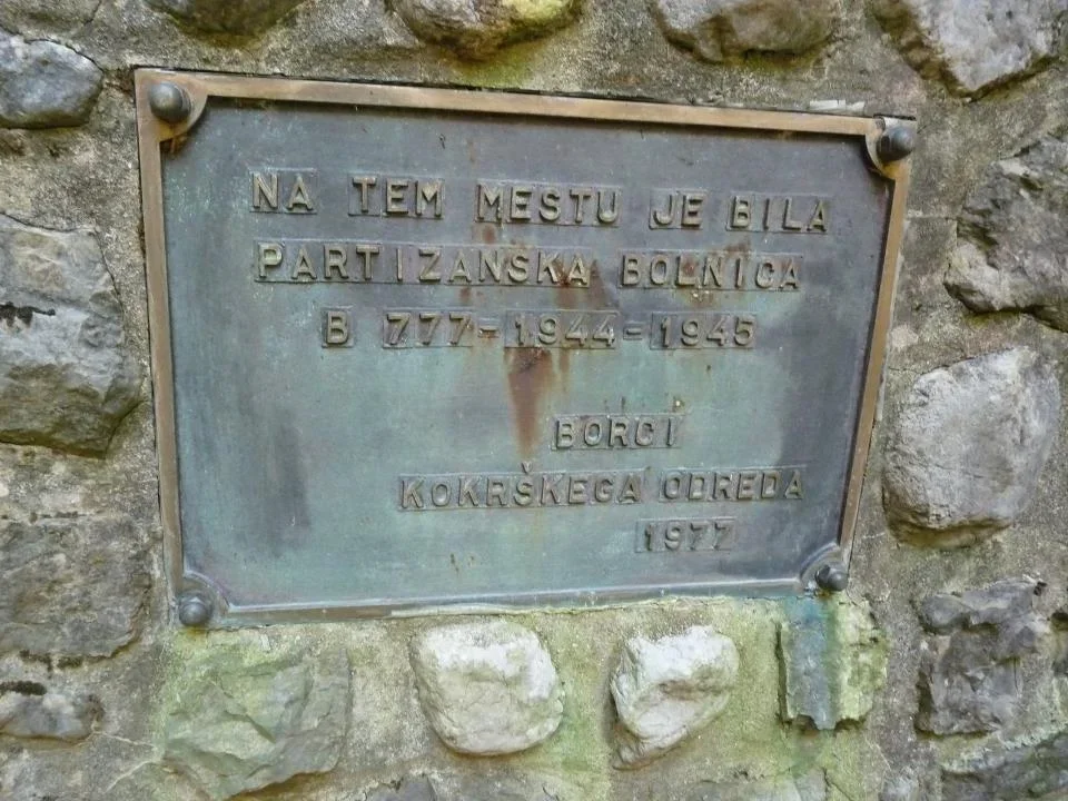
Ambulanta B 777
—
partizanstvo.si / Arhiv Geopedia · CC-BY 4.0 (privzeta licenca) · Preneseno iz Geopedije.
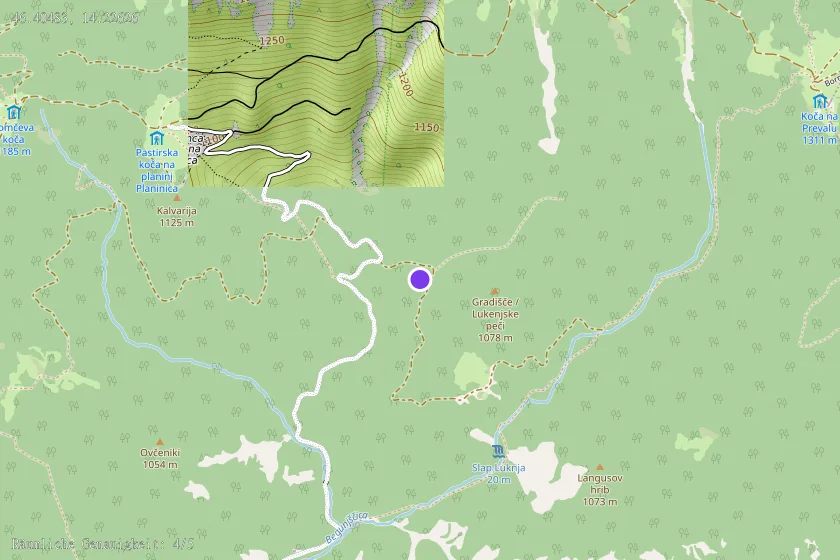
Initially, in May 1944, the ambulance was under the leadership of Dr. Edvard Pohar, located near Planinca, with 8 beds and two nurses, but the space was not suitable, so they moved to this location (in Vratih) along the river. The forced bunker for the seriously wounded was 300 meters away. It was built by the carpenter Justin Dolinar and Polde Kunčič. The activist Katarina Šenk - Tetka, who was the only one from the terence who knew about the hospital, ensured good equipment. The leader was Francka Logar - Vasilija. The nurses were Manica Erman and Cvetka Ažman - Olga, the doctor was Dr. Rado Debevc, and Milka Janša cooked. They were protected by Anton Pretnar, Rudolf Omejc, Lojze Kralj, Martin Kolenc, Alfonz Kolman, Jože Meterc, Valentin Zaplotnik, etc., the commander was Polde Kunčič, the commissioner Justin Dol, - Adam, later Alojz Korošec. The ambulance cared for 200 wounded, two of whom died (Ivan Kryštofek from Tržič and Jože Koblar from Raven in Bohinj).
The ambulance of the Kokrški detachment operated here from October 1944 to April 5th, 1945, when it moved to the liberated Begunje to a school. It was partially dug in, with three rooms containing 14 beds.
The monument was erected by the fighters of the Kokrški detachment on May 25th, 1977, the plaque was made at the foundry of Železarne Jesenice.
EŠD 27904
Along the path of memories: Radovljiški zbornik, Radovljica: Občinska konferenca SDZL, 1990, pp. 70-71.
Monuments of our revolution, Ljubljana: Mladinska knjiga, 1961, pp. 115-116.
Guide through partisan trails, Ljubljana: Borec, 1978, p. 237.
Keyword for searching related features: Hospital123
Translation · AI tier 5
Sources
- Partizanstvo.si — Partizanski spomeniki (#2108) (fd5bd03a-2595-46a4-a766-24a2124615c5) — Partizanstvo.si — Partizanski spomeniki (#2108)
Links
Location & map
Map position available (Point) · spatial accuracy: 4 — Accurate
Textual location description
Do spomenika pridemo po cesti iz Drage proti Planinci in Poljški planini. Pribl. 1500 m za gostilno v Dragi se v desno odcepi gozdna cesta. Do sem je bilo strmo in cesta razrita, odcep, ki vodi proti Luknji in naprej na pešpot proti Prevali, pa gre vodoravno. 200 m za odcepom cesta napravi ovinek v desno (tam se od spodaj pridruži bližnjica), spomenik se nahaja kakih 30 m pod cesto kmalu za ovinkom. Opis lokacije v RKD je zavajajoč in iskalca pripelje do tega, da spomenik išče 250 višinskih metrov nižje, v Medvodju ob potoku, ki priteče s Prevale v Drago.