
PoH-Code: poh.12564
Idrija, Memorial to Jožet Mihevc-Rudar
—
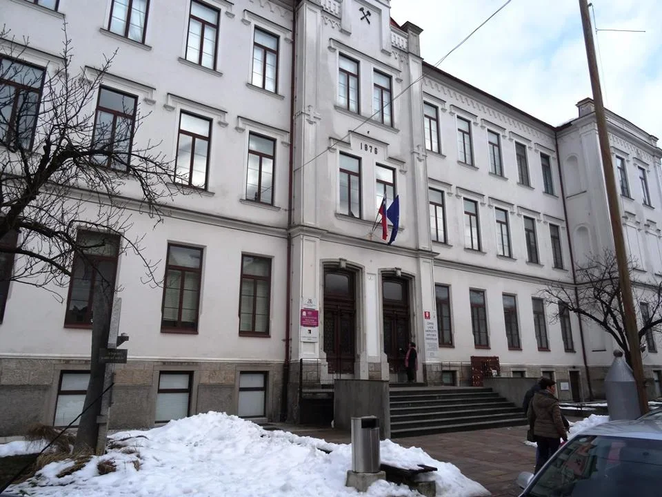
partizanstvo.si / Arhiv Geopedia · CC-BY 4.0 (privzeta licenca) · Preneseno iz Geopedije.
Born on 25th July 1922 in Gorica. He was a worker. Youth was spent in Idrija. In 1941 he went to work at the Raša mine in Istria, but had already returned home by November 1942 and joined the Vojsko četo. Later he fought in the Južnoprimorski odred and Gregorčičevi brigadi. He became famous for his bravery.
After Italy's capitulation, he was appointed commander of the 3rd battalion of Gradnikova brigade, later becoming deputy commander of the same brigade. On 20th May 1944 he became commander of the Vojsko brigade. With it he led a series of fierce battles against the Germans. He fell in battle on Jelovici on 20th June 1944.
Monument at the place of death: On the bend of the forest road, which turns from the Jesenovec mountain towards the south and begins to descend towards Prtovč. GPS coordinates: 46,2511° N 014,1116° E
He was named a national hero on 21st July 1953. He was buried in the cemetery in Idrija.
The elementary school in Idrija was named after the hero Jožet Mihevc. The monument was unveiled on 29th November 1963.
The monument is a standing stone made of irregularly shaped stone slabs. The inscription slabs are made of black marble. On one of them are engraved commemorative verses, while on the other is the commemorative inscription to Jožet Mihevc, the national hero and commander of the Vojsko brigade.
Ivo Prelovec (architect; 1963)
EŠD 19467
Translation · AI tier 5
Sources
- Partizanstvo.si — Partizanski spomeniki (#2775) (0caa9374-654f-48e9-a882-2d27869c9371) — Partizanstvo.si — Partizanski spomeniki (#2775)
Links
Location & map
Map position available (Point) · spatial accuracy: 4 — Accurate
Textual location description
Spomenik stoji pred Čipkarsko šolo, Prelovčeva 2
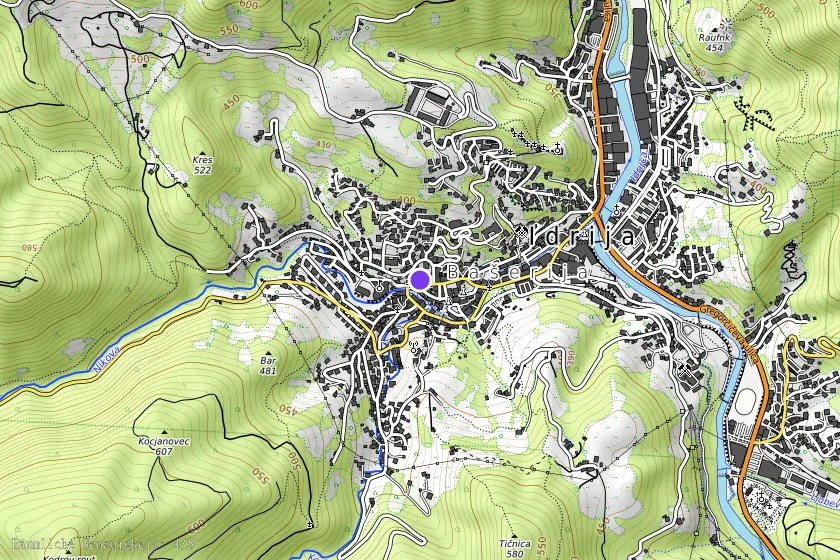
Coordinates (WGS84)46.00098° N, 14.02036° E