
PoH-Code: poh.12235
Ivan and Filip Ažman and an unknown partizanka
—
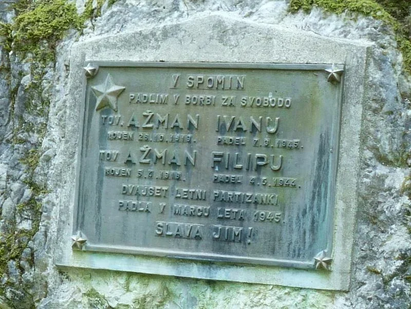
partizanstvo.si / Arhiv Geopedia · CC-BY 4.0 (privzeta licenca) · Preneseno iz Geopedije.
The plaque was designed by the Local Organization of the Slovene People's Liberation Army and Partisan Liberation Army (ZB NOV) Lancovo, and was made by the foundry of Jesenice Steelworks (Železarne Jesenice). It was discovered in 1959.
Along the path of memories: Radovljica: Radovljica municipal collection, Radovljica: Municipal Conference of the Slovene Cultural and Historical Society (SDZL), 1990, pp. 207-208.
An unknown partizanka, "whom it seems the Germans brought with them and somewhat killed under the caravans." (Martin Prešeren: Topography of the Liberation Army of Lipnica - Lancovo, Caravan 000F, GK IN LMS Jelovica). One account says that the Germans and the Home Guard brought her, but it does not mention the place of her death. Janez Štiherle from Kolnice said upon discovering the memorial that the Home Guard from Brezij brought her and tortured her terribly (they carved a star into her face and chest).
Translation · AI tier 7
Sources
- Partizanstvo.si — Partizanski spomeniki (#409) (23284732-11cb-4366-a4fd-345645d23099) — Partizanstvo.si — Partizanski spomeniki (#409)
Links
Location & map
Map position available (Point) · spatial accuracy: 4 — Accurate
Textual location description
Tik nad cesto na Talež, vendar se s ceste težko opazi. Vzhodno: 434866.313 Severno: 131680.609 GPS koordinate: Geog. širina (N ): 46°19'33.84" Geog. dolžina (E): 14°8'57.44" 46.3263654,14.1489836
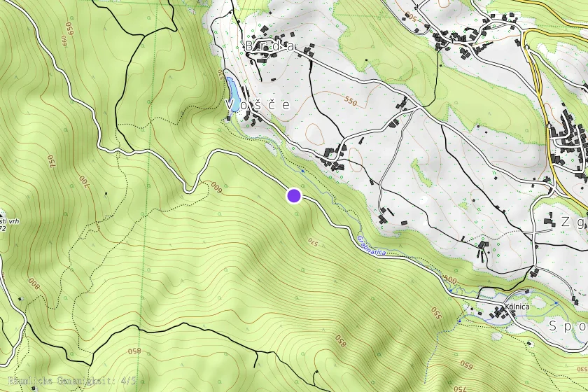
Coordinates (WGS84)46.32607° N, 14.14932° E