
PoH-Code: poh.12043
Idrija, Sanitetna postaja št. 1 primorske operativne cone
—
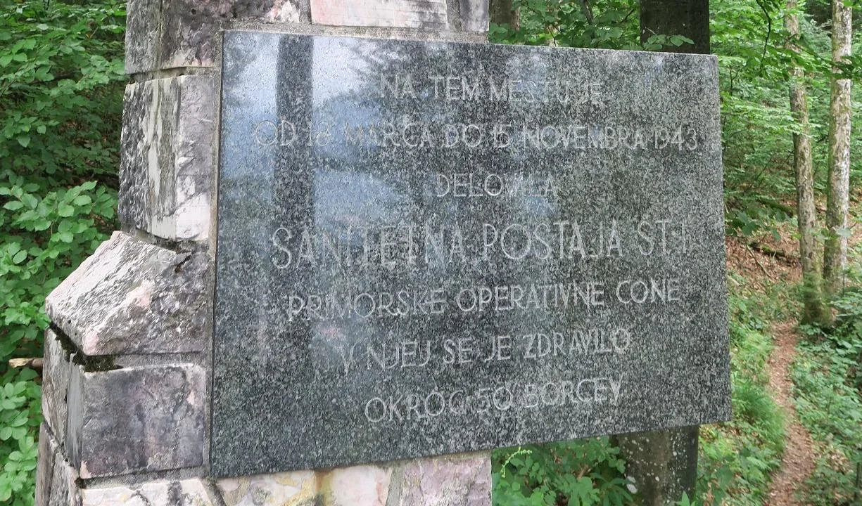
partizanstvo.si / Arhiv Geopedia · CC-BY 4.0 (privzeta licenca) · Preneseno iz Geopedije.
It was located «on smooth rocks» and «on the high peak» in immediate proximity to Idrija from March to mid-November 1943, when it joined the CVB at Tratnik in Čekovnik. Sanitary post number 1 was led by the nurse Feliks Kosmač from Idrija. In it, about 50 wounded and sick people were treated. Food and other necessities for them were collected by activists on the ground, mainly women and girls from Idrija, Idrijske Bele and Čekovnik, and delivered to the public storehouses at Feliks Kosmač's place near Idrija and at Julija Lampeta's place in Bela.
The memorial is a stone obelisk with a attached marble plaque. It is located at the site in the forest where the sanitary post operated. Author of the design: Ivo Prelovec
Date of unveiling: 4.7.1966
EŠD 21145
Search keyword for related monuments: Bolnica123
Translation · AI tier 5
Sources
- Partizanstvo.si — Partizanski spomeniki (#4567) (6e00a3e1-856e-4bde-99f3-ca7601712725) — Partizanstvo.si — Partizanski spomeniki (#4567)
Links
Location & map
Map position available (Point) · spatial accuracy: 4 — Accurate
Textual location description
V gozdu, v kraju nad predelom imenovan Gladke skale. Dostop je s ceste Idrija – Čekovnik kakih 3,2 km iz centra Idrije, kjer je na levi strani parkirišče. Zavijemo desno na gozdno pot. 15 minut hoje do spomenika. Vstop na gozdno pot je označen s smerokazi. (koordinate 45°59'14"N 14°00'58"E)
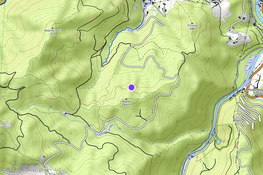
Coordinates (WGS84)45.98722° N, 14.01611° E