PoH-Code: poh.11193
Bašelj, Mala gora – First Battle of the Tigris with the occupier on the Small Hill
—
partizanstvo.si / Arhiv Geopedia · CC-BY 4.0 (privzeta licenca) · Preneseno iz Geopedije.
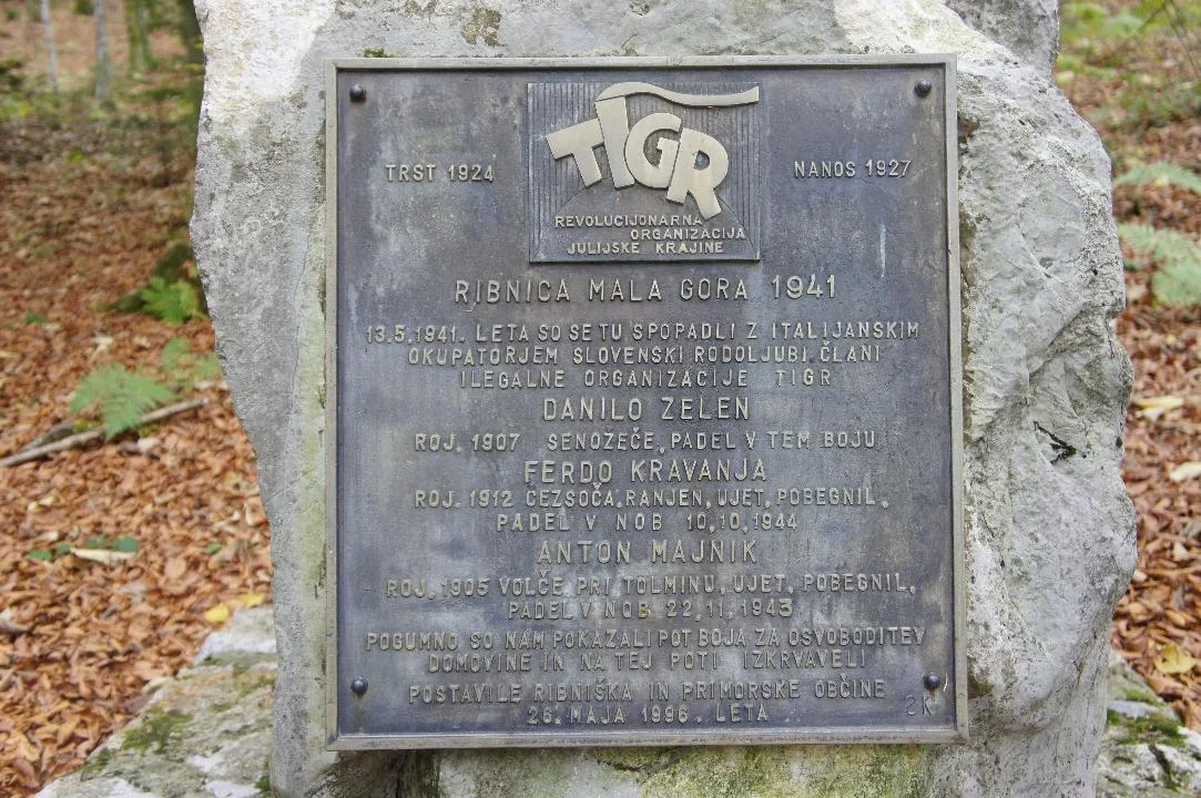
In the small mountain above Ribnica, in the area that the locals call Bašelj, which is the lowest point for crossing from Struška Valley into Ribnica, a clash occurred on 13 May 1941. In Lovšina, a wooden hut located in close proximity to the forest road, members of the organization TIGR—Anton Majnik, Danilo Zelen and Ferdo Kravanja, all from the Slovenian Primorje—fled from the Italian occupiers. In the morning, a combined patrol of former Yugoslav soldiers and Italian carabinieri from Ribnica arrived at the barack. A armed clash ensued, in which Danilo Zelen, the military leader of the organization TIGR, fell; Ferdo Kravanja was wounded and captured, Anton Majnik was captured, but managed to escape.
The wooden hut in Lovšina was destroyed and burned during the clash and was never restored afterwards.
In addition to the wooden memorial, erected on 29 September 1985, a bronze memorial plaque was unveiled on 26 May 1996, placed by the local fishing and coastal communities in memory of the aforementioned event. The bronze memorial plaque is set on a selected and brought stone slab.
Record number: EŠD 22158 memorial site
Search term: TIGR123
Translation · AI tier 5
Sources
- Partizanstvo.si — Partizanski spomeniki (#2673) (f0a2ab86-cce5-46b0-afe4-883b1ad15000) — Partizanstvo.si — Partizanski spomeniki (#2673)
Links
Location & map
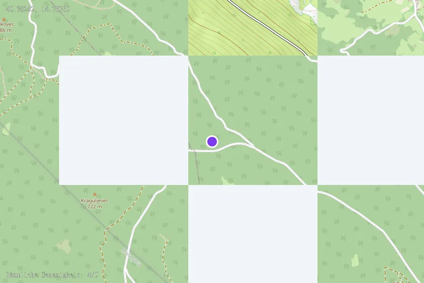
Map position available (Point) · spatial accuracy: 4 — Accurate
Textual location description
Iz Ribnice preko železniškega prehoda pri Riku v Lepovčah, mimo veterinarske postaje v Malo goro. Odcep (tretji odcep levo), ki je za nekdanjim smetiščem v Mali gori vodi cesta na greben, kjer je večje obračališče in prostor za hlodovino. Po cesti naravnost okoli 200 metrov levo pod cesto, kamor vodi gozdna vlaka, sta na manjši planjavi vidna obe obeležji ter ostanek "štirne".